GRN grid region: N29W55
A grid 'square' of approximately 160km x 160km, part of the Global Reference Network of 19,833 grid cells covering the Earth.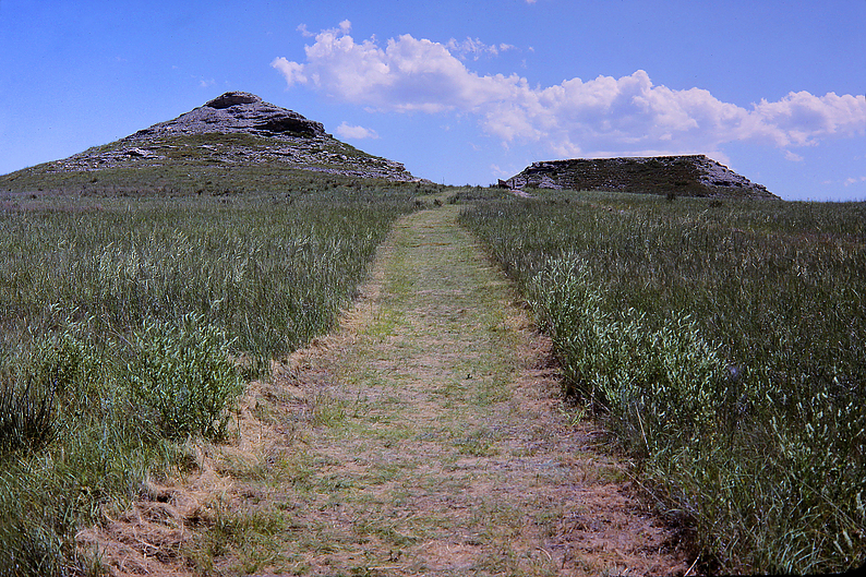


Northeast Corner:
43 30'0'' N , 102 10'58'' W ( 43.5,-102.183 )
Southwest Corner:
42 0'0'' N , 104 4'37'' W ( 42,-104.077 )
Select Mineral List Type
Standard Detailed Gallery Strunz Chemical ElementsCommodity List
This is a list of exploitable or exploited mineral commodities recorded at this locality.Mineral List
49 valid minerals.
Rock Types Recorded
Note: data is currently VERY limited. Please bear with us while we work towards adding this information!
Select Rock List Type
Alphabetical List Tree DiagramLocalities within Grid Area
- Nebraska
- Dawes County
- Sioux County
- South Dakota
- Custer County
- Custer Mining District
- Fairburn
- Freezeout mine
- Lien and Sons Quarry
- Triangle mine
- Unorganized mining district [1]
- Fall River County
- Ardmore
- Burke Quarry
- Cheyenne River
- Edgemont Uranium Mining District
- Accidental No. 1 Mine
- Accidental No. 10 Mine
- Accidental No. 3 occurrence
- Acme occurrence
- Alice claim
- Amy No. 1
- Apple Pie
- B and H Nos. 1-6 claims
- Barber
- Barker and Howell (B and H Driftwood Canyon)
- Baxter
- Beadle Group
- Bear Lodge
- Bits (Driftwood Group)
- Blue Chip Occurrence
- Blue Note
- Carabou
- Carnotite Cave Occurrence
- Chilson Canyon No. 1
- Clarabell Nos. 1-5
- Coal Canyon 6de
- Coal Canyon mine
- Coal Canyon No. 1
- Coal Canyon No. 14
- Coal Canyon No. 4
- Cram Lease (Roy Marty Lease)
- Crandal Group
- Craven Canyon
- Cycad No. 1
- Dagmar Occurrence
- Dakota
- Dakota Flat (Joe Smith Group)
- Damsite
- Darrow Lease (1)
- Darrow Lease (2)
- Darrow No. 3 Pit
- Eagle Eyrie Occurrence
- Edgemont Nos. 1-6
- Eunice Occurrence
- Flora
- Freezeout No. 3 (Pilsner Group; S. Red Canyon Group)
- Gertrude
- Get Me Rich Quick mine
- Gould Lease (Gould 1-3; East Rim; Payday 3-4)
- Green Acre No. 3
- Greenslipper No. 1 (West Red Canyon Group)
- Greenslipper No. 2
- Greenslipper No. 3
- Gull mine
- Heck Lease
- Helen (Professor Group)
- Hell's Canyon
- Hey and Fay
- Hi Pockets Occurrence
- Holdup No. 15 (Kados No. 3)
- Custer County
- South Dakota
- Fall River County
- Edgemont Uranium Mining District
- Holdup No. 17
- Holdup No. 2
- Imogene (Professor Group)
- Jackpine
- Jo Ann
- Johnson-Starlite
- Kadox King mine
- King Mine
- Kl-15 (Kellogg K-9 Mine)
- Koller
- Lakota No. 11
- Lazyman
- Lion
- Lion No. 2 Pit
- Little Ann (Little Annie Joe Smith)
- Little Windy Occurrence
- Lo Ra No. 1
- Lucky Strike mine (Lundberge Lease)
- Lucky Toss
- Lucy Occurrence
- Martinson
- Marty's Timber Claim (John Marty Lease)
- Mary Jac No. 9
- Matias Peak
- McKnight
- N Gulch
- Ophelia
- Pabst No. 3 Occurrence
- Pat No. 2
- Patsy
- Payday
- Pee Wee
- Pennywitt mine
- Peterson Lease
- Ram No. 1
- Red Canyon
- Reutter Group
- Rip Snorter (Cycad Matias Group)
- Rowena
- Runge Mine
- Section 36-8S-3E (State 1 S.D. Min. Lease; Jarosa State Lease)
- Shamrock Group (West Red Canyon Group.)
- Sheep Canyon Occurrence
- Shelton-Warren
- Skinny Sob
- Skipper No. 4
- South View mine
- Taylor mine
- Tess (Schaeffer Lease)
- Tin Shack
- Too Late
- Trail Fraction mine
- Trail Wind
- Unknown Uranium Occurrence (MRDS - 10226763)
- Uranium No. 1
- Valley View No. 6
- Verde
- Wakan (Soto Verde)
- Washboard
- Western Edge Occurrence (Joe Smith Lease)
- Yellowcat No. 1
- Fall River
- Fossil Cycad National Monument
- Hills Material Quarry
- Hot Springs
- Hot Springs Plaster Company (U.S. Gypsum Company; Baker Plaster Company)
- Minnekahta
- Oelrichs
- Oral
- Pierre Shale
- Provo
- Unorganized mining district [2]
- Wildcat and Cedar Canyons
- Edgemont Uranium Mining District
- Oglala Lakota County
- Fall River County
- Wyoming
- Goshen County
- Hartville Mining District
- Goshen County
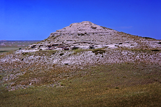
Agate Fossil Beds National Monument, Sioux County, Nebraska, USA