

Tenerife Volcano
Updated: Jul 22, 2026 00:56 GMT -
shield volcano
Canary Islands (Spain), 28.27°N / -16.64°W 

Summit height: 3715 m
Current status: normal or dormant (1 out of 5)
Last update: 24 Jun 2026 (intense seismic activity continues)
The large triangular island of Tenerife is composed of a complex of overlapping Miocene-to-Quaternary stratovolcanoes that have remained active into historical time.
[smaller] [larger]
Tenerife volcano eruptions: 1909, 1798, 1706, 1704, 1492, 1444?, 1396?, 1341?
Latest nearby earthquakes
| Date and Time | Mag / Depth | Distance / Location | |||
|---|---|---|---|---|---|
| Jul 21, 08:17 pm (GMT +1) | 1.3 12 km | 5.5 km (3.4 mi) to the SW | Spain: NW Vilaflor DE Chasna.Itf | Info | |
| Jul 21, 08:17 pm (GMT +1) | 1.4 13 km | 6.2 km (3.8 mi) to the SW | Spain: E Guía DE Isora.Itf | Info | |
| Jul 21, 06:29 pm (GMT +1) | 1.1 11 km | 6.2 km (3.9 mi) to the S | Spain: N Vilaflor DE Chasna.Itf | Info | |
| Jul 21, 06:23 pm (GMT +1) | 1.6 18 km | 6.7 km (4.2 mi) to the SW | Canary Islands, Spain Region | Info | |
| Jul 21, 06:08 pm (GMT +1) | 1.4 12 km | 5.1 km (3.2 mi) to the S | Spain: NW Vilaflor DE Chasna.Itf | Info | |
| Jul 21, 04:37 pm (GMT +1) | 1.1 4 km | 5.4 km (3.3 mi) to the S | Spain: NW Vilaflor DE Chasna.Itf | Info | |
| Jul 21, 04:05 pm (GMT +1) | 1.3 9 km | 7.2 km (4.5 mi) to the SW | Spain: NW Vilaflor DE Chasna.Itf | Info | |
| Jul 21, 11:31 am (GMT +1) | 1.7 13 km | 7.5 km (4.6 mi) to the S | Canary Islands, Spain Region | Info | |
| Saturday, July 18, 2026 GMT (2 quakes) | |||||
| Jul 18, 09:27 am (Universal Time) | 1.6 12 km | 4.6 km (2.9 mi) to the SW | Canary Islands, Spain Region | Info | |
Background
The NE-trending Cordillera Dorsal volcanic massif joins the Las Cañadas volcano on the SW side of Tenerife with older volcanoes, creating the largest volcanic complex of the Canary Islands. Controversy surrounds the formation of the dramatic 10 x 17 km Las Cañadas caldera, which is partially filled by 3715-m-high Teide stratovolcano, the highest peak in the Atlantic Ocean. The origin of the caldera has been considered to be due entirely or in part to either a massive landslide (in a manner similar to the earlier formation of the massive La Orotava and Guimar valleys in the Cordillera Dorsal) or due to major explosive eruptions. The most recent stage of activity beginning in the late Pleistocene included the construction of the Pico Viejo and Teide edifices. Tenerife was perhaps observed in eruption by Christopher Columbus, and several flank vents on the Canary Island's most active volcano have been active during historical time. Source: Smithsonian GVPAccommodation nearby
Significant volcanic eruptions: Tenerife volcano
In the past 10,000 years, Tenerife has had at least 42 confirmed volcanic eruptions, out of which 5 are documented by historical records, while the others can be inferred from geological evidence.
Additionally, there are 4 uncertain or discredited eruptions from Tenerife volcano.
Additionally, there are 4 uncertain or discredited eruptions from Tenerife volcano.
The table below lists all known eruptions (date in bold face) of Tenerife volcano since around 1000 BC. Updates on the most recent volcanic activity of Tenerife can be found on the news page of Tenerife volcano.
| Date | Note | VEI | Deaths | Damage | ||
|---|---|---|---|---|---|---|
| NW rift zone (Chinyero) Historical obs./docs. | 2 | |||||
| SW flank of Pico Viejo (Chahorra) Historical obs./docs. | 3 | |||||
| NW rift zone (Garachico) Historical obs./docs. | 2 | |||||
| 1706 May 5 (eruption | Tsunami recorded Historical obs./docs. | 2 | heavy | Info | ||
| NW rift zone (Siete Fuentes, Fasnia, Güímar) Historical obs./docs. | 2 | |||||
| NW rift zone (Montaña Boca Cangrejo) Historical obs./docs. | ? | |||||
?? | Uncertain Eruption | ? | ||||
Discredited Eruption | ||||||
?? | Uncertain Eruption | ? | ||||
?? | Uncertain Eruption | ? | ||||
| NW rift zone (Montaña Reventada) | ? | |||||
| Pico de Tiede | ? | |||||
| NE rift zone (Volcán Negro) | ? | |||||
| NW flank of Pico Viejo (Roques Blancos) | ? | |||||
| NW rift zone (Cuevas Negras) | ? | |||||
| NW rift zone (Los Hornitos) | ? | |||||
| Teide-Pico Viejo complex | ? | |||||
| NW flank of Pico Viejo (Roques Blancos) | ? | |||||
| Montaña Blanca, Pico Viejo | 4+ | |||||
| Teide-Pico Viejo complex | ? | |||||
| NW flank of Teide (El Boquerón) | ? | |||||
| NW rift zone (Volcán el Ciego) | ? | |||||
Remark:
Our list of volcanic eruptions closely follows the database of eruptions of the Smithsonian's Global Volcanism Project (GVP), the internationally most recognized data source for volcanic eruptions, but also includes significant eruptive episodes or related volcano events. "Volcanic eruptions" are usually to be understood as sequences of individual eruptive episodes that can follow each other, or even overlap (if several vents are involved), and can last many years, decades or even longer. For example, the current activity of Stromboli volcano is understood as a single eruption that has been ongoing since 1934.
Sources: NOAA National Centers for Environmental Information (NCEI), Global Significant Volcanic Eruptions Database. doi:10.7289/V5TD9V7K | Global Volcanism Project / Smithsonian Institution
Tenerife Volcano FAQ
+When was the last eruption of Tenerife volcano?
The last confirmed eruption of Tenerife occurred in 1909.
+How often does Tenerife volcano erupt?
Since 1492 AD, Tenerife volcano has had at least 5 historically documented eruptions. This means that it erupts on average every 107 years.
+How active is Tenerife volcano at present?
Tenerife volcano is occasionally active: Since 1900, it has had one eruption, which occurred in 1909.
+When was the largest eruption of Tenerife volcano?
The largest eruption known from the younger geological history of Tenerife volcano occurred around 80 BC. It ranks as a "vulcanian" eruption with a magnitude 3 on the VEI (Volcanic Explosivity Index) scale.
Latest satellite images
Tenerife Volcano Maps
Below is a selection of maps showing the location and surroundings of the volcano at various resolutions based on aerial-imagery / terrain maps. Feel free to use them for non-commercial purposes on your blog or website as long as you credit them with a link back to this page (click to copy it).
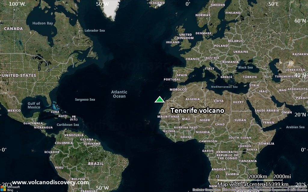
Satellite/aerial-type map of Tenerife volcano (world scale)
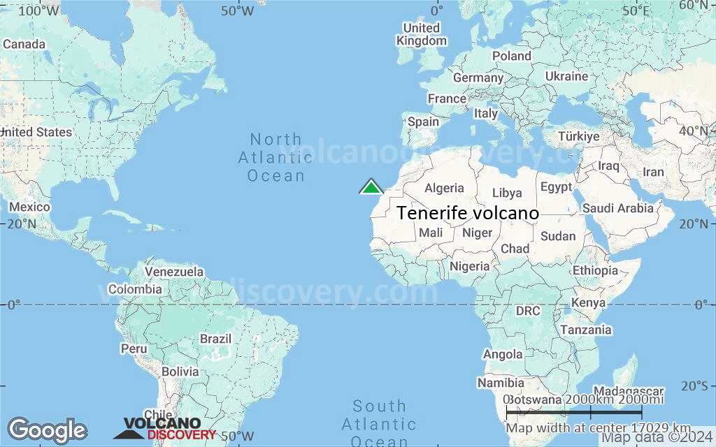
Terrain-type map of Tenerife volcano (world scale)
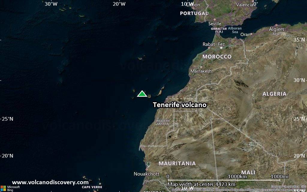
Satellite/aerial-type map of Tenerife volcano (region scale large)
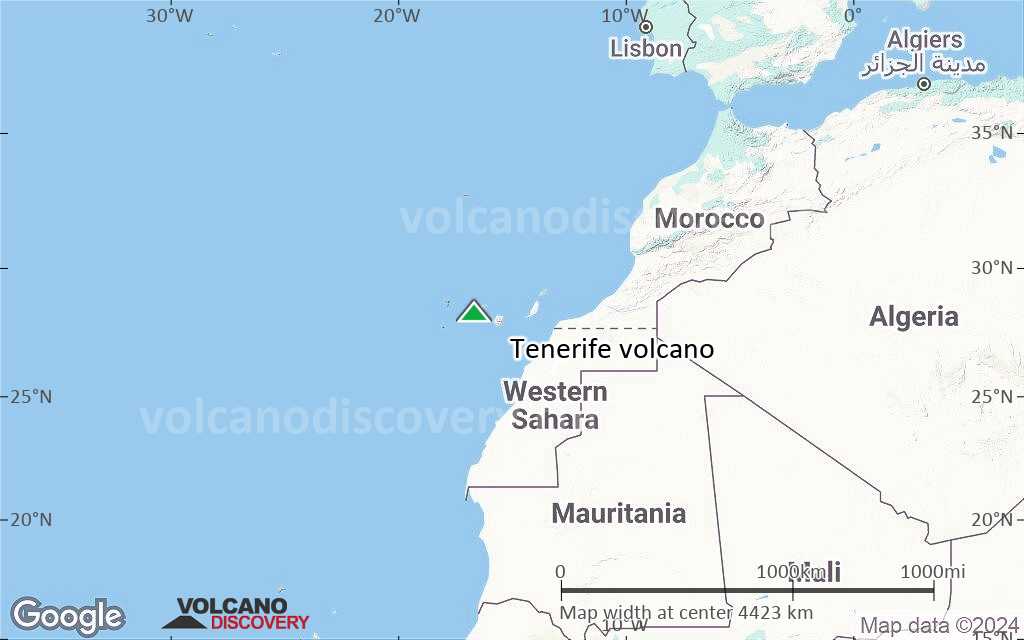
Terrain-type map of Tenerife volcano (region scale large)
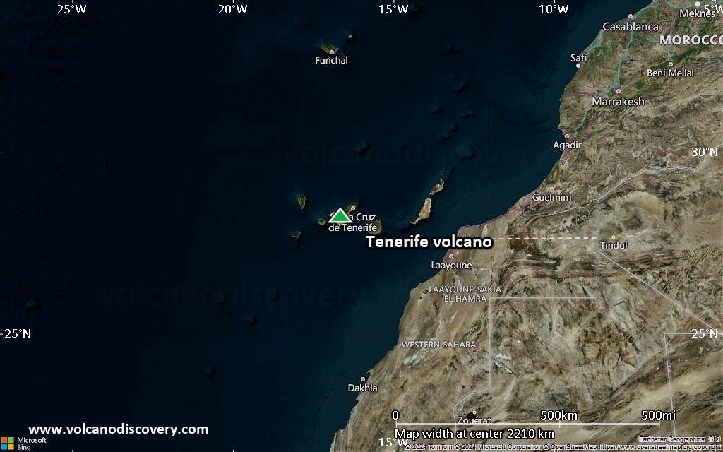
Satellite/aerial-type map of Tenerife volcano (region scale medium)
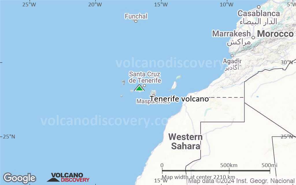
Terrain-type map of Tenerife volcano (region scale medium)
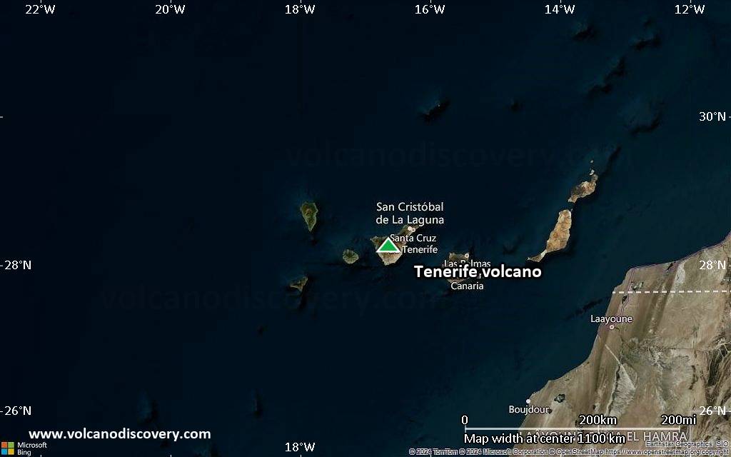
Satellite/aerial-type map of Tenerife volcano (region scale small)
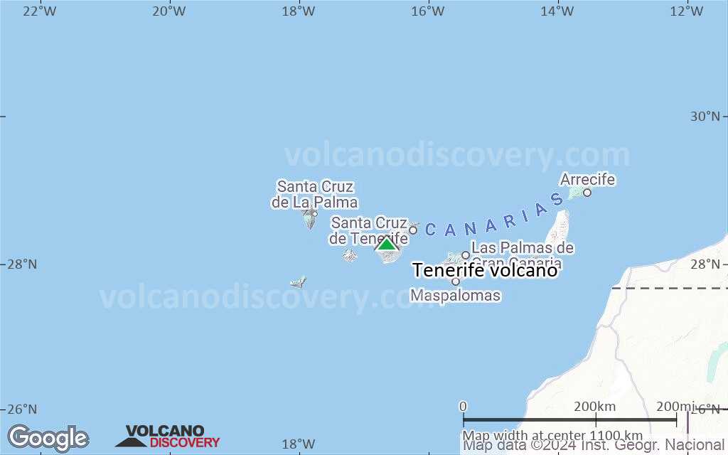
Terrain-type map of Tenerife volcano (region scale small)

Satellite/aerial-type map of Tenerife volcano (local scale large)
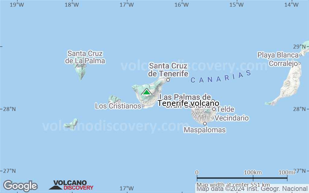
Terrain-type map of Tenerife volcano (local scale large)
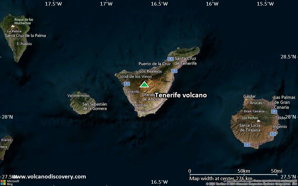
Satellite/aerial-type map of Tenerife volcano (local scale medium)
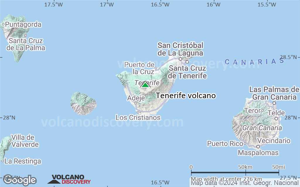
Terrain-type map of Tenerife volcano (local scale medium)

Satellite/aerial-type map of Tenerife volcano (local scale small)
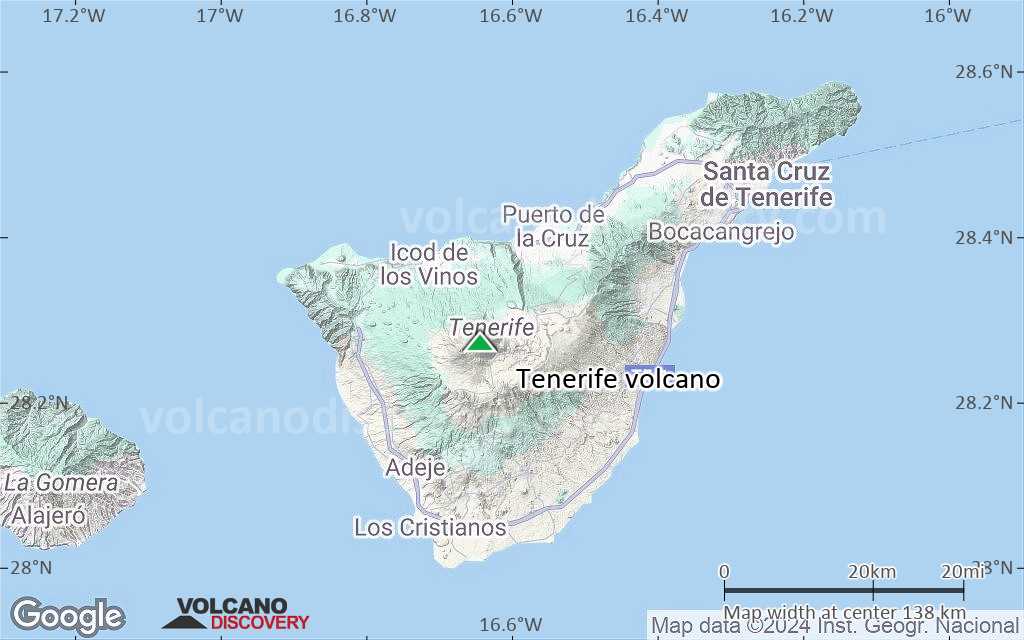
Terrain-type map of Tenerife volcano (local scale small)
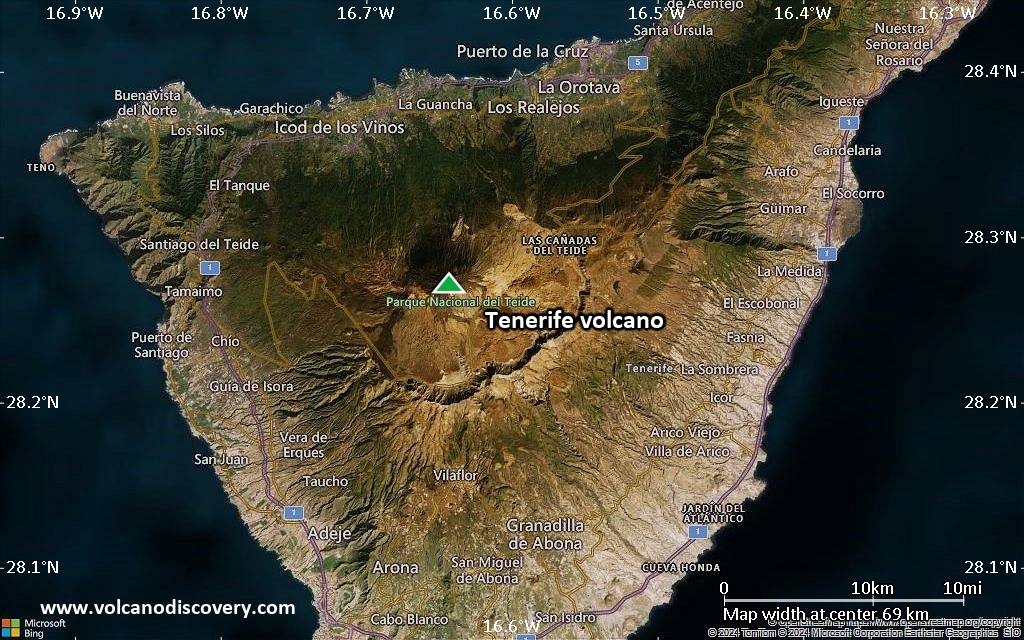
Satellite/aerial-type map of Tenerife volcano (scale of 10s of km)
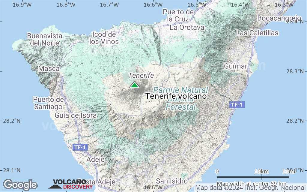
Terrain-type map of Tenerife volcano (scale of 10s of km)
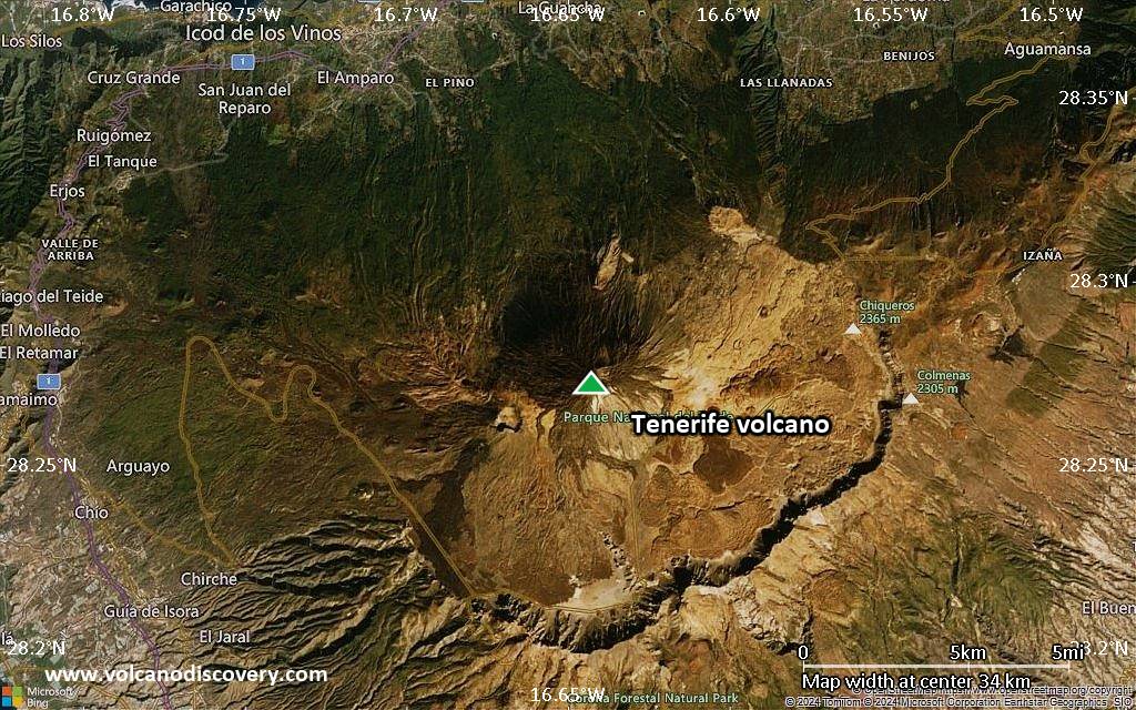
Satellite/aerial-type map of Tenerife volcano (scale of 20-40 km)
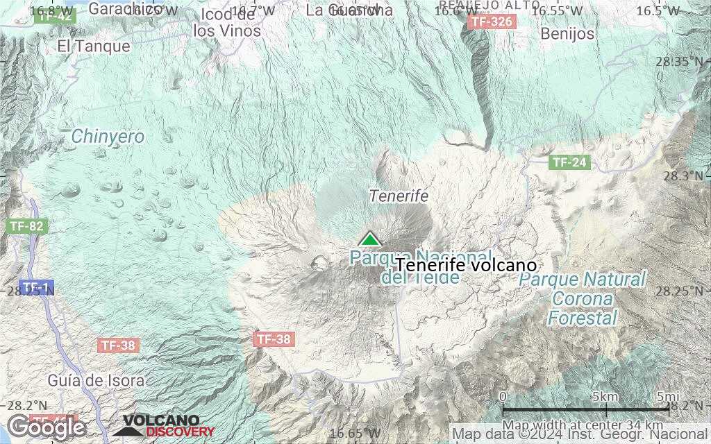
Terrain-type map of Tenerife volcano (scale of 20-40 km)
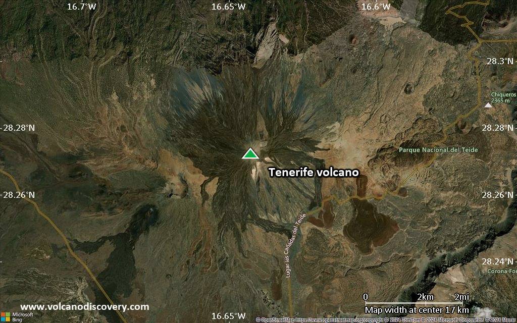
Satellite/aerial-type map of Tenerife volcano (scale of approx. 10-20 km)
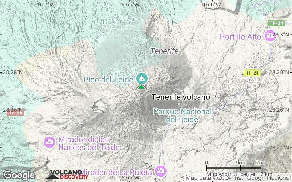
Terrain-type map of Tenerife volcano (scale of approx. 10-20 km)
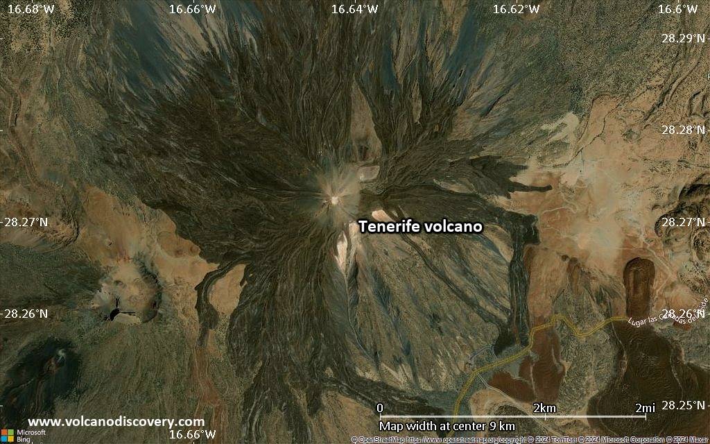
Satellite/aerial-type map of Tenerife volcano (scale of 5-10 km)
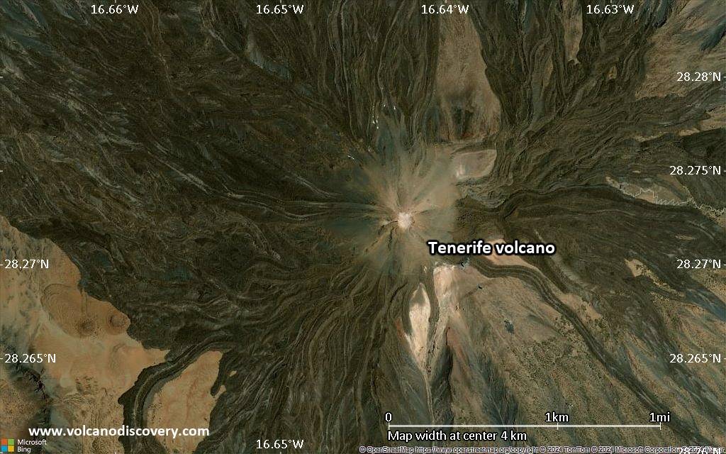
Satellite/aerial-type map of Tenerife volcano (scale of few kilometers)