| RSS | EN | DE | EL | ES | FR | IT | RU

Puracé Vulkan

Updated: 9. Aug. 2026 00:20 GMT -
stratovolcano
Kolumbien, 2.32°N / -76.4°W
Summit height: 4650+ m / 15,256 ft
Aktueller Status: Ausbruch (4 von 5)
Last update: 8 Aug 2026 (Volcanic Ash Advisory)

Puracé volcano in SW Colombia, 25 km SE of Popayan, is one of the most active volcanoes in Colombia with frequent explosive eruptions. Its largest historic eruptions occurred in 1849, 1869, and 1885.
The last eruption of Puracé volcano was a small (VEI 2) eruption in 1977. It deposited ash up to 7 km away.
In 1990 new fumaroles and hot springs were observed at the summit and on the flank.

[smaller] [larger]
Typische Aktivität: explosive
Ausbrüche des Puracé: 1977, 1957, 1956, 1949, 1947, 1946, 1927, 1926, 1925, 1924, 1906, 1902(?), 1899, 1885, 1881, 1878, 1870, 1869, 1860, 1847-52, 1840, 1835, 1827, 1816, 160 BC ± 50

Letzte Erdbeben in der Nähe

Datum und UhrzeitMag / TiefeDistanz / Ort

Beschreibung

Puracé is an andesitic stratovolcano with a 500-m-wide summit crater constructed over a dacitic shield volcano. The volcano is located at the NW end of a volcanic massif opposite the Pan de Azúcar stratovolcano 6 km to the SE.
A NW-SE-trending group of 7 cones and craters, Los Coconucos, lies between the two larger edifices. (Source: USGS / GVP volcano information)

Accommodation nearby

Bedeutende Vulkanausbrüche: Puracé volcano

In the past 10,000 years, Puracé has had at least 27 confirmed volcanic eruptions, out of which 26 are documented by historical records, while the others can be inferred from geological evidence.
The table below lists all known eruptions (date in bold face) of Puracé volcano since around 1800. Updates on the most recent volcanic activity of Puracé can be found on the news page of Puracé volcano.
DatumHinweisVEITodesopferSchaden
2023 Nov 16
Hist. dokumentiert
1
unbekannt
2022 Mär 29Between Puracé and Curiquinga
Hist. dokumentiert
1
unbekannt
1977 Mär 19 - Mär 28 ?
Hist. dokumentiert
2
unbekannt
1957 Jul 2 ±182 d.
Hist. dokumentiert
2?
unbekannt
1956 oder davor
Hist. dokumentiert
2
unbekannt
1949 Mai 26 - Jun 11
Hist. dokumentiert
2
unbekannt
1949 Mai 26
(Ausbruch 1949 Mai 26 - Jun 11)
Hist. dokumentiert
217
unbekannt
Info
1947 Apr 27
Hist. dokumentiert
2
unbekannt
1946 Mär - Apr
Hist. dokumentiert
2
unbekannt
1927
Hist. dokumentiert
2
unbekannt
1926 Aug - Sep
Hist. dokumentiert
2
unbekannt
1925 Okt 12 - Nov 5
Hist. dokumentiert
2
unbekannt
1924
Hist. dokumentiert
2
unbekannt
1906
Hist. dokumentiert
2
unbekannt
1902 ?
Hist. dokumentiert
2
unbekannt
1899
Hist. dokumentiert
2
unbekannt
1885 Mai 25
Hist. dokumentiert
3
unbekannt
1885 Mai 25
(Ausbruch 1885 Mai 25)
Hist. dokumentiert
350-100 (*)
mittel
Info
1881
Hist. dokumentiert
2
unbekannt
1878 Aug 31
Hist. dokumentiert
2
unbekannt
1870 Okt
Hist. dokumentiert
2
unbekannt
1869 Okt 4 - Nov
Hist. dokumentiert
3?
unbekannt
1860 ±9 y.
Hist. dokumentiert
2?
unbekannt
1847 Okt 27 - 1852
Hist. dokumentiert
3?
unbekannt
1840
Hist. dokumentiert
2
unbekannt
1835 Jan 23
Hist. dokumentiert
2
unbekannt
1827 Nov 18
Hist. dokumentiert
2
unbekannt
1816
Hist. dokumentiert
?
unbekannt
(*) Geschätzte Zahlen
Anmerkung:
Unsere Liste von Vulkanausbrüchen orientiert sich eng an der Datenbank des Global Volcanism Project (GVP) des Smithsonian Instituts, der international anerkanntesten globalen Datenquelle für Vulkanausbrüche. Sie schließt aber auch bedeutende Eruptionsepisoden oder damit zusammenhängende Vulkanereignisse ein. Unter "Vulkanausbrüchen" versteht man in der Regel meist Serien einzelner Eruptionsepisoden, die zeitlich aufeinander folgen oder sich (bei mehreren beteiligten Ausbruchspunkten an einem Vulkan) auch überlappen können und unter Umständen viele Jahre, Jahrzehnte oder noch länger andauern können. So ist z.B. die aktuelle Tätigkeit des Stromboli als ein einziger Ausbruch verstanden, der seit 1934 anhält.
Quellen: NOAA National Centers for Environmental Information (NCEI), Global Significant Volcanic Eruptions Database. doi:10.7289/V5TD9V7K | Global Volcanism Project / Smithsonian Institution

Puracé Volcano FAQ

+When was the last eruption of Puracé volcano?

+How often does Puracé volcano erupt?

+How active is Puracé volcano at present?

+When was the largest eruption of Puracé volcano?

Neueste Satellitenbilder

Purac%C3%A9 Satellitenbild sat1Purac%C3%A9 Satellitenbild sat2

Puracé Vulkan Karten
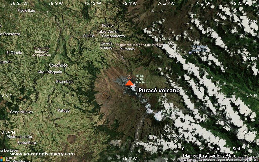
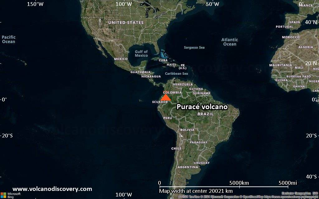
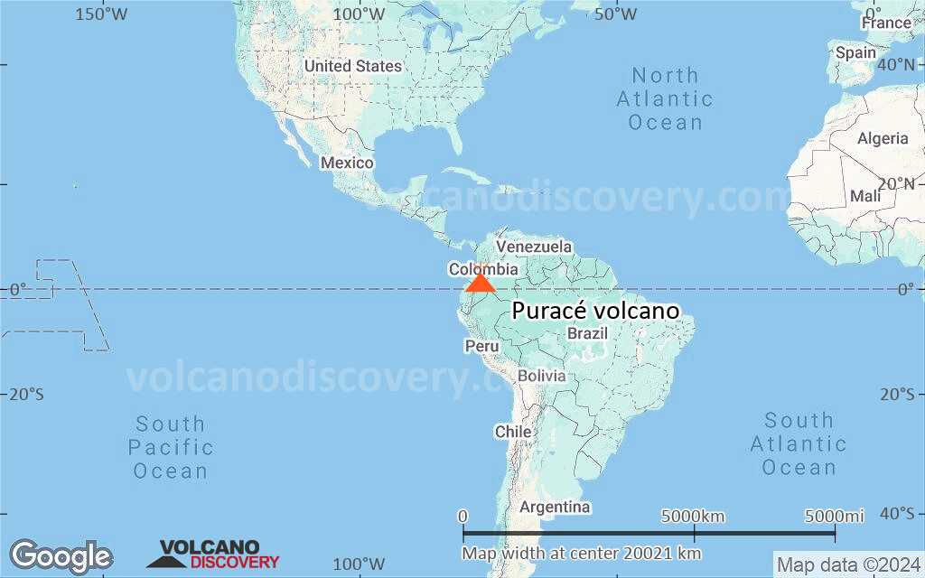
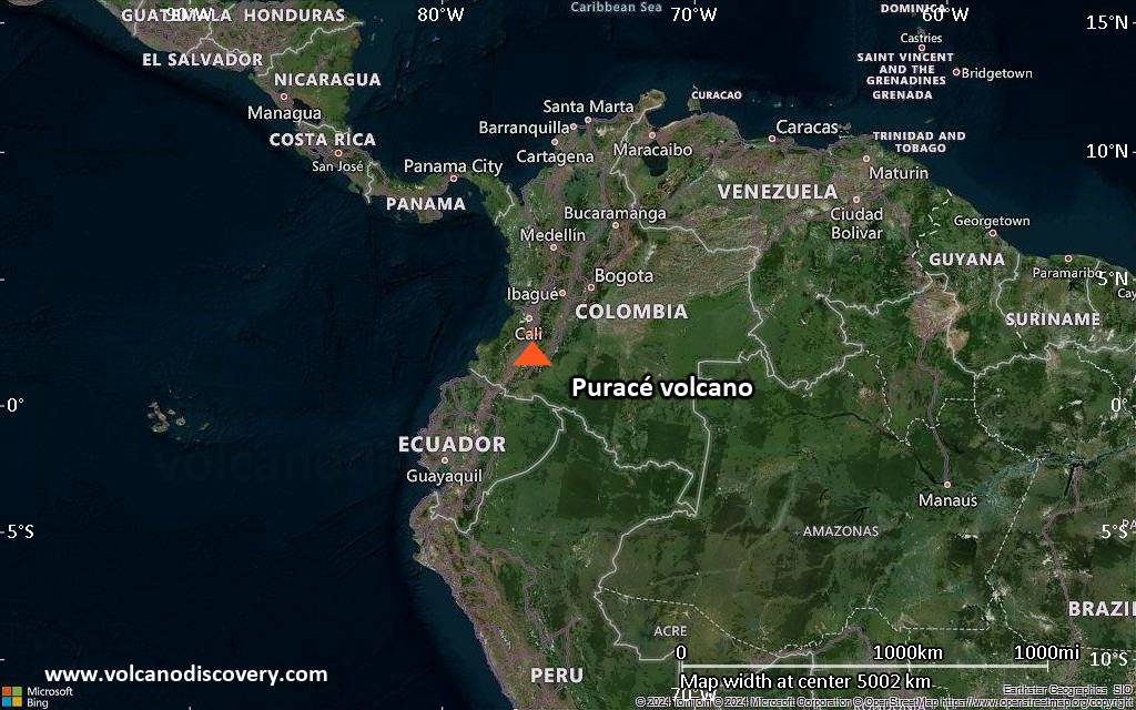
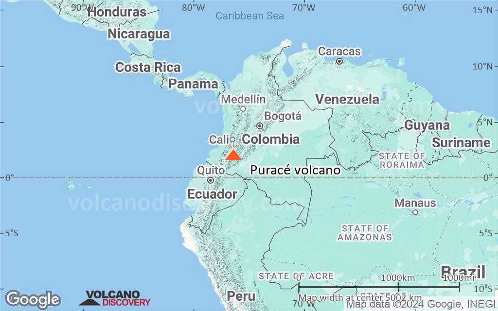
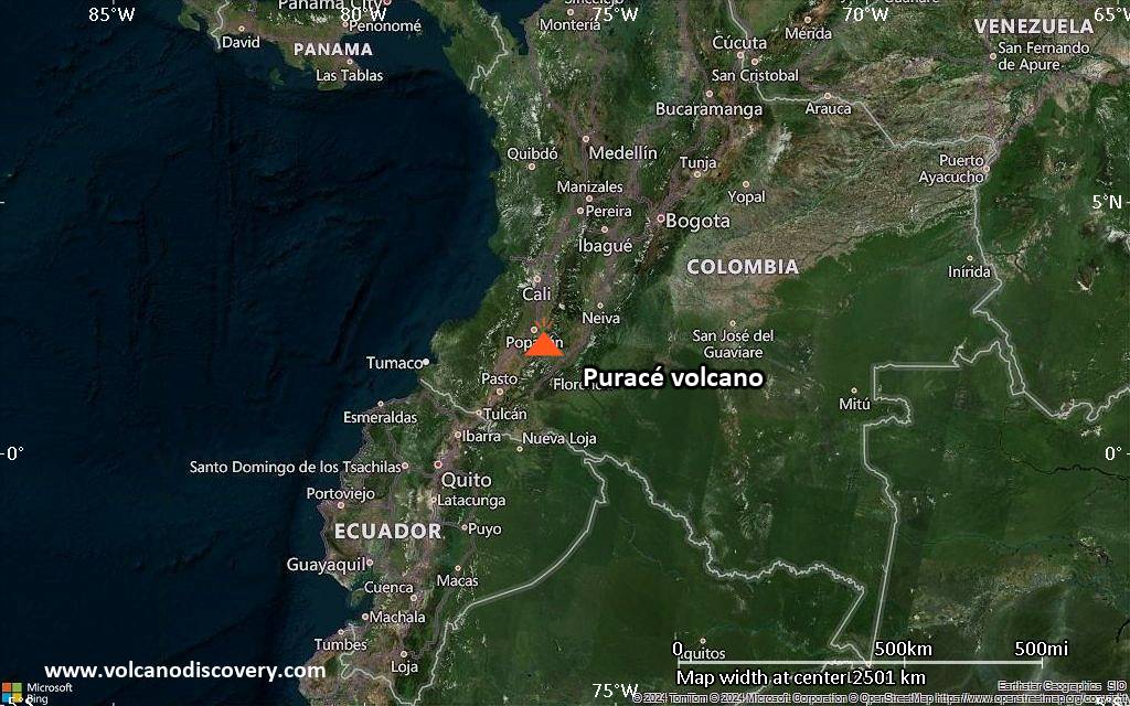
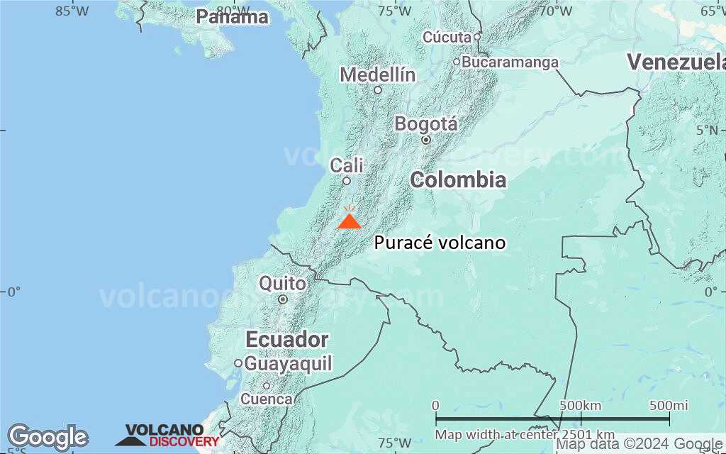
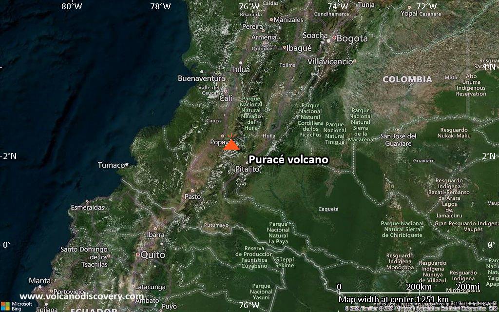
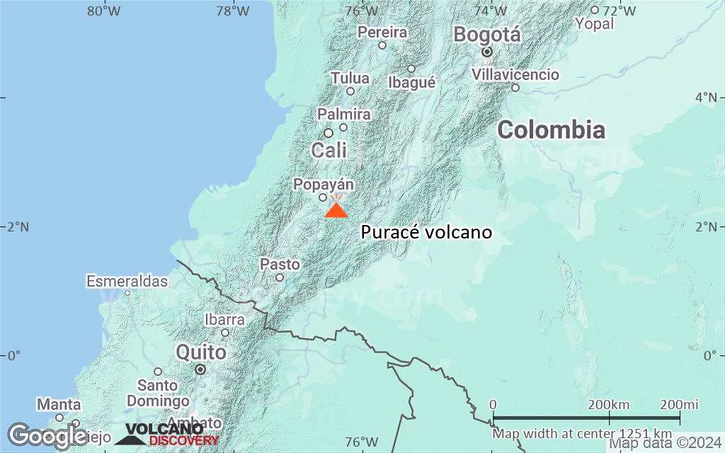
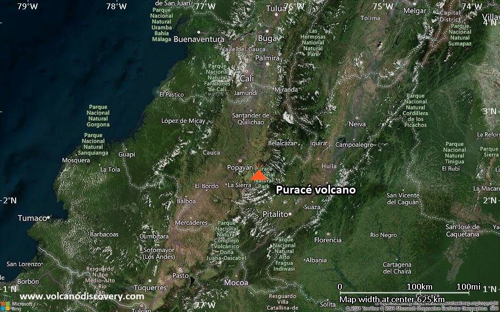
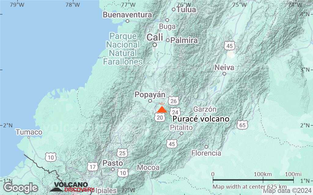
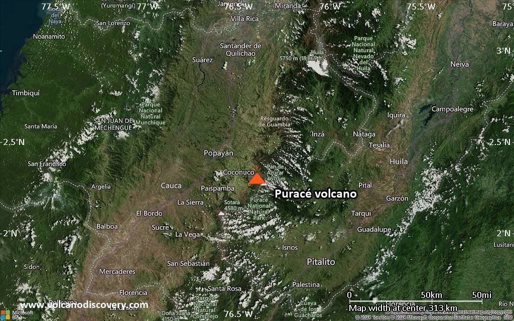
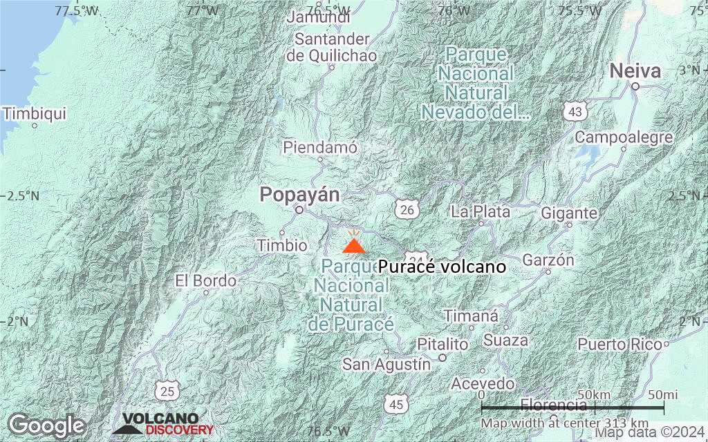
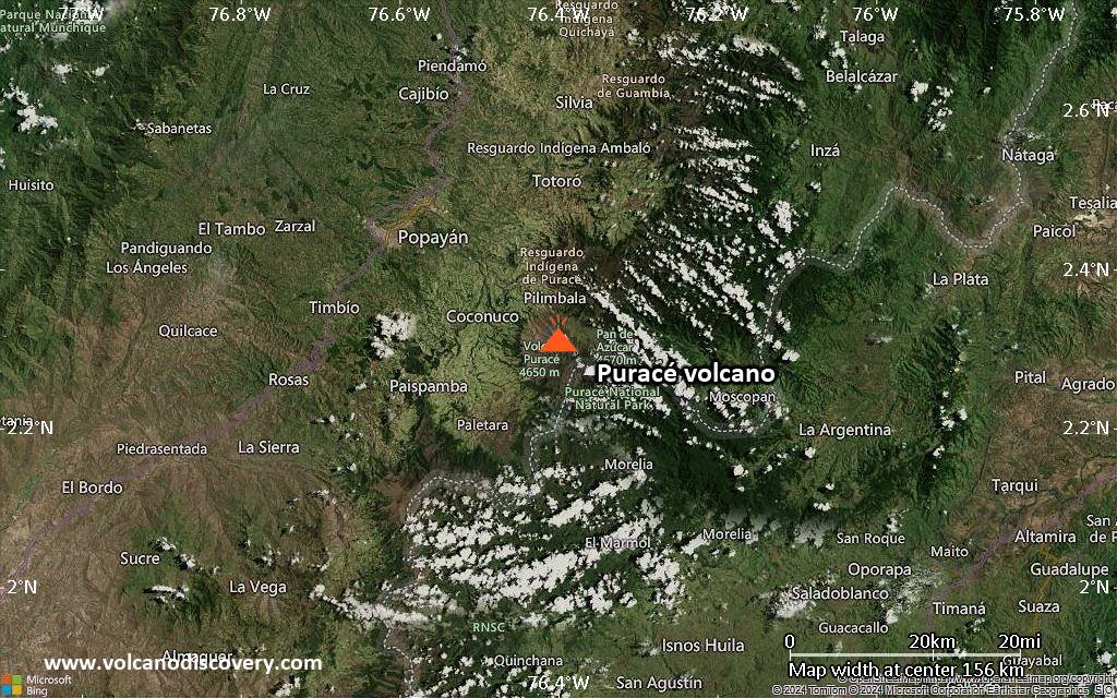
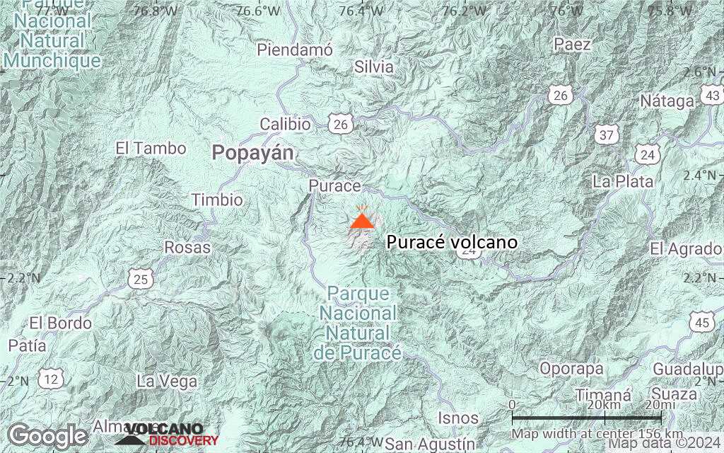
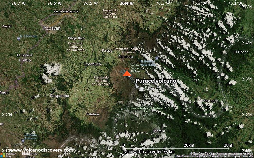
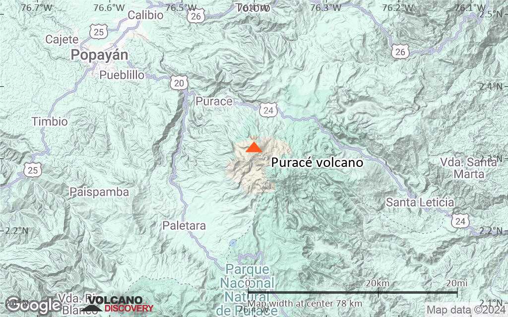
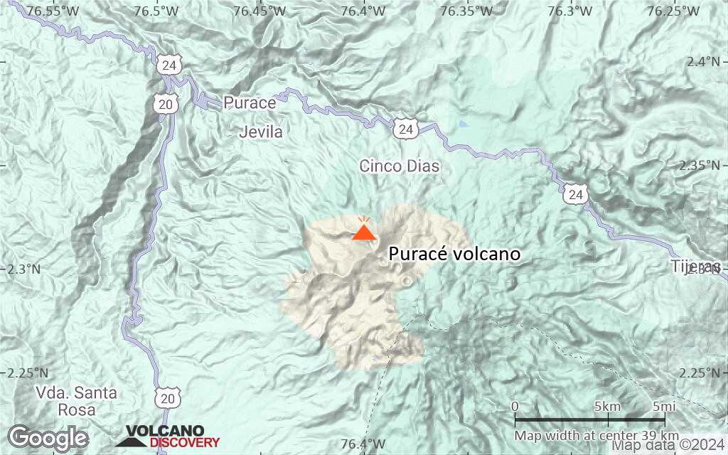
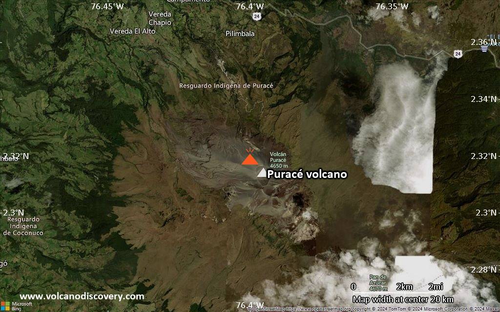
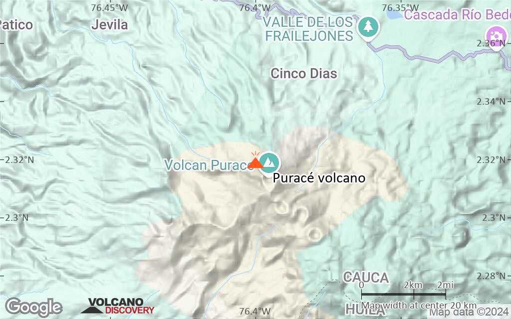
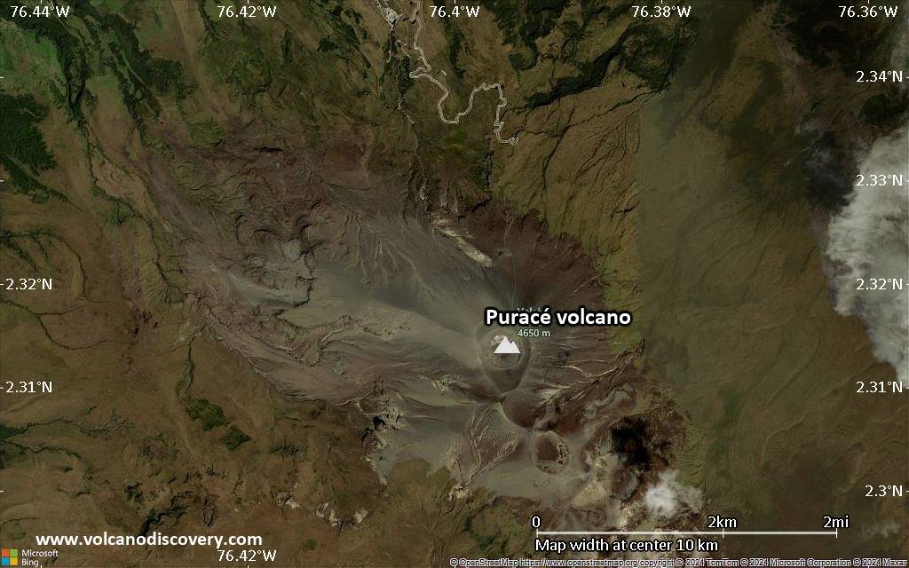
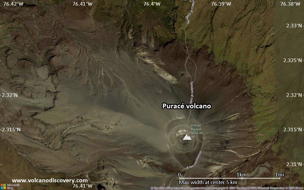
Below is a selection of maps showing the location and surroundings of the volcano at various resolutions based on aerial-imagery / terrain maps. Feel free to use them for non-commercial purposes on your blog or website as long as you credit them with a link back to this page (click to copy it).
Satellite/aerial-type map of Puracé volcano (world scale)
Terrain-type map of Puracé volcano (world scale)
Satellite/aerial-type map of Puracé volcano (region scale large)
Terrain-type map of Puracé volcano (region scale large)
Satellite/aerial-type map of Puracé volcano (region scale medium)
Terrain-type map of Puracé volcano (region scale medium)
Satellite/aerial-type map of Puracé volcano (region scale small)
Terrain-type map of Puracé volcano (region scale small)
Satellite/aerial-type map of Puracé volcano (local scale large)
Terrain-type map of Puracé volcano (local scale large)
Satellite/aerial-type map of Puracé volcano (local scale medium)
Terrain-type map of Puracé volcano (local scale medium)
Satellite/aerial-type map of Puracé volcano (local scale small)
Terrain-type map of Puracé volcano (local scale small)
Satellite/aerial-type map of Puracé volcano (scale of 10s of km)
Terrain-type map of Puracé volcano (scale of 10s of km)
Satellite/aerial-type map of Puracé volcano (scale of 20-40 km)
Terrain-type map of Puracé volcano (scale of 20-40 km)
Satellite/aerial-type map of Puracé volcano (scale of approx. 10-20 km)
Terrain-type map of Puracé volcano (scale of approx. 10-20 km)
Satellite/aerial-type map of Puracé volcano (scale of 5-10 km)
Satellite/aerial-type map of Puracé volcano (scale of few kilometers)
Volcanoes & Earthquakes - app for Android
Garantierte Reisen
14.-30. Aug 2026: Volcanoes and Spices - N-Sulawesi + Halmahera (Indonesien)
5.-21. Oct 2026: Von Krakatau bis Bali - Java (Indonesien)
6.-22. Nov 2026: Volcanoes and Spices - N-Sulawesi + Halmahera (Indonesien)
8.-24. Nov 2026: From Bali to Flores - Java (Indonesia)
3.-9. May 2027: Faszination Vulkan - Santorin (Griechenland)
26. May - 6. Jun 2027: Land of History - Armenia
= Plätze frei   = garantiert   = Wenig freie Plätze   = Ausgebucht

Puracé Vulkan stößt Aschenwolke aus

Samstag, 8. Aug 2026 – vor 7 Stunden · VN
Volcanic Ash Advisory Center Washington (VAAC) issued the following report:

FVXX23 at 15:07 UTC, 08/08/26 from KNES
VA ADVISORY
DTG: 20260808/1504Z

VAAC: WASHINGTON

VOLCANO: PURACE 351060
PSN: N0219 W07624

A…
Artikel öffnen

Puracé Vulkan wirft Aschenwolke aus

Samstag, 8. Aug 2026 – vor 15 Stunden · VN
Volcanic Ash Advisory Center Washington (VAAC) issued the following report:

FVXX23 at 08:38 UTC, 08/08/26 from KNES
VA ADVISORY
DTG: 20260808/0835Z

VAAC: WASHINGTON

VOLCANO: PURACE 351060
PSN: N0219 W07624

A…
Artikel öffnen

Auf dieser Seite:

Try our free app!
Volcanoes & Earthquakes - new app for Android
Android | iOS version

More on VolcanoDiscovery

Warum gibt es Werbung auf dieser Seite?

Gemeinsam VolcanoDiscovery weiterentwickeln!

Tag für Tag arbeiten wir mit Leidenschaft daran, Ihnen die neuesten Daten zu Vulkanen und Erdbeben in aller Welt in Echtzeit bereitzustellen. Die Pflege unserer Website und unserer kostenlosen Apps erfordert jedoch erheblichen Zeitaufwand, Engagement und technische Ressourcen.



Mit Ihrer Unterstützung können wir unsere Hard- und Softwarekapazitäten ausbauen, unser Redaktionsteam stärken und sicherstellen, dass wir Sie weiterhin informieren können. Unser Ziel: ein unterbrechungsfreier und möglichst vollständiger Service, sobald sich ein Erdbeben oder Vulkanausbruch ereignet. Ihre Unterstützung macht dies möglich – jeder Beitrag zählt! Wenn Sie unsere Dienste und Infos hilfreich finden und sich an dieser Mission beteiligen möchten, unterstützen Sie uns noch heute:

Spenden mit PayPal:

Geplante Verbesserungen:

Dank Ihrer bisherigen Spenden konnten wir bereits umsetzen:
Laden Sie die App „Vulkane & Erdbeben“ herunter, um bei Vulkanen und Erdbeben immer auf dem aktuellsten Stand zu sein und neueste Nachrichten zu erhalten!
Android | iOS
Vielen Dank, dass Sie Teil dieser Mission sind!
Sources: VolcanoDiscovery / VolcanoAdventures and other sources as noted.
Use of material: Most text and images on our websites are owned by us. Re-use is generally not permitted without authorization. Contact us for licensing rights.
Volcanoes & Earthquakes
VolcanoDiscovery Home
Vulkane | Erdbeben | Fotos | News | | Shop | App
Adventure & Study Travel
Reisen zu Vulkanen und Vulkangebieten: Wanderreisen, Studienreisen, Fotoreisen
Tours & Dates | FAQ | About us
Get our newsletter!
Company info
Kontakt | Impressum | AGB
Follow us
Follow us on facebook Follow us on Instagram Follow us on Bluesky Follow us on Twitter Visit our Youtube channel
EN | DE | EL | ES | FR | IT | RU
VolcanoDiscovery GmbH, Germany, Reg. nr.: HRB 103744, EU Tax Id: DE 297 465 123 owned and created by
Dr. Tom Pfeiffer, volcanologist, volcano photographer, tour organizer member of
IAVCEI
IAVCEI
Vulkanologische Gesellschaft
Volcanological Society
Ecotourism Greece
Ecotourism Greece
RUV insurance
Insured by R+V
VolcanoDiscovery © 2004- All Rights Reserved | Datenschutz - Cookie Einstellungen