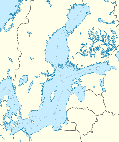
Vyborg Bay (Russian: Выборгский залив; Finnish: Viipurinlahti; Swedish: Viborgska viken) is a deep inlet running northeastward near the eastern end of Gulf of Finland in the Baltic Sea. The Russian city of Vyborg is located near the head of the gulf.[1]


Since the mid-19th century, the bay has been connected by the Saimaa Canal to the lake Saimaa in Finland.[2]
In 1790, the bay was the scene of one of the largest naval battles in history, the Battle of Vyborg Bay, with a total of 498 Russian and Swedish ships.[3]
The end of the bay is called Zashchitnaya Bay (Russian: бухта Защитная, Finnish: Suomenvedenpohja.) In the Middle Ages, the river Vuoksi had an outlet there, which dried up little by little due to post-glacial rebound and was left completely dry in 1857 when the Kiviniemi rapids in Losevo (Russian: Лосево, Finnish: Kiviniemi), Karelian isthmus were formed and the Burnaya River became the main outlet of Vuoksa.[4]
Lodochnyy Island lies in the middle of the bay, between Vyborg and Vysotsk.[1]
See also
editReferences
edit- ^ a b "Vyborgskiy Zaliv · Leningrad Oblast, Russia". Vyborgskiy Zaliv · Leningrad Oblast, Russia. Retrieved 2025-09-07.
- ^ "SAIMAA CANAL". GO SAIMAA. Retrieved September 7, 2025.
- ^ Grant, R. G. (2008). Battle at sea. New York: DK Pub. ISBN 978-0-7566-3973-0.
- ^ Oinonen, Markku; Pesonen, Petro; Alenius, Teija; Heyd, Volker; Holmqvist-Saukkonen, Elisabeth; Kivimäki, Sanna; Nygrén, Tuire; Sundell, Tarja; Onkamo, Päivi (2014-11-01). "Event reconstruction through Bayesian chronology: Massive mid-Holocene lake-burst triggered large-scale ecological and cultural change". The Holocene. 24 (11): 1419–1427. doi:10.1177/0959683614544049. ISSN 0959-6836.

