| Locality type: | Cadastral Community |
| Classification |
|---|
|
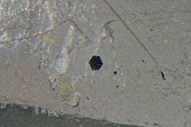
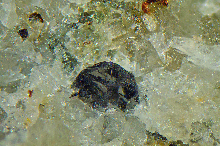
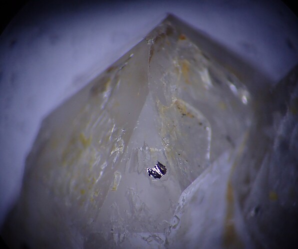
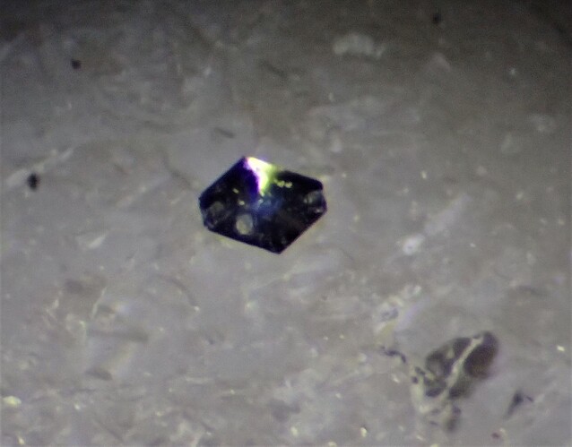
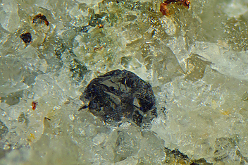
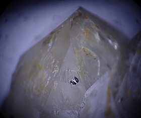
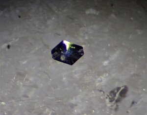
| Species: | Graphite |
| Formula: | C |
| Confirmation |
|---|
|
| Validity: | Confirmed |
| Confirmation Methods: | Dealer/Collection Label |
| Associated Minerals Based on Photo Data: |
|---|
|
| Quartz | 3 |
| - var Rock Crystal | 2 |
| Data |
|---|
|
| Mineral Data: | Click here to view Graphite data |
| Locality Data: | Click here to view Loiwein, Lichtenau im Waldviertel, Krems-Land District, Lower Austria, Austria |
| Photo Gallery | View Gallery (4 photos) |
| Data Identifiers |
|---|
|
| Mindat Occurrence Record ID: | 925396 |
| Long-form Identifier: | 1:3:925396:4 |
| GUID (UUID V4): | 0 |
| Nearest other occurrences of Graphite |
|---|
|
|
| 2.7km (1.6 miles) | ⓘGraphite mines, Taubitz, Lichtenau im Waldviertel, Krems-Land District, Lower Austria, Austria |
| 2.7km (1.7 miles) | ⓘOber-Meisling, Gföhl, Krems-Land District, Lower Austria, Austria |
| 3.8km (2.4 miles) | ⓘOssergraben, Unter-Meisling, Gföhl, Krems-Land District, Lower Austria, Austria |
| 4.1km (2.5 miles) | ⓘGraphite mine, Rastbach, Gföhl, Krems-Land District, Lower Austria, Austria |
| 10.7km (6.6 miles) | ⓘGraphite deposit, Krumau am Kamp, Krems-Land District, Lower Austria, Austria |
| 11.2km (7.0 miles) | ⓘBengelbach (incl. Mitterfeld), Mühldorf, Krems-Land District, Lower Austria, Austria |
| 11.8km (7.3 miles) | ⓘWolfsberg (Zeindlhof), Bengelbach (incl. Mitterfeld), Mühldorf, Krems-Land District, Lower Austria, Austria |
| 12.0km (7.5 miles) | ⓘSchmoll quarry, Bernhards, Kottes-Purk, Zwettl District, Lower Austria, Austria |
| 12.2km (7.6 miles) | ⓘGraphite mine, Runds, Kottes-Purk, Zwettl District, Lower Austria, Austria |
| 12.5km (7.8 miles) | ⓘPb-Zn mine, Arzberg (Atzberg), Weißenkirchen in der Wachau, Krems-Land District, Lower Austria, Austria |
| References |
|---|
|
|
|
Loiwein, Lichtenau im Waldviertel, Krems-Land District, Lower Austria, Austria