Croft Mine, Cardiff Township, Highlands East Township, Haliburton County, Ontario, Canada
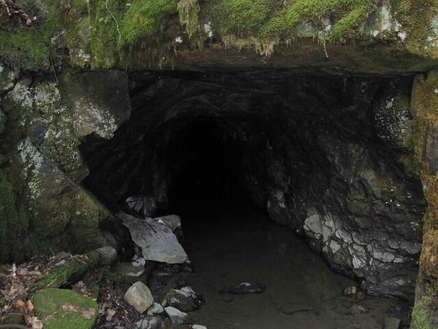
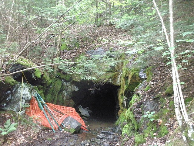
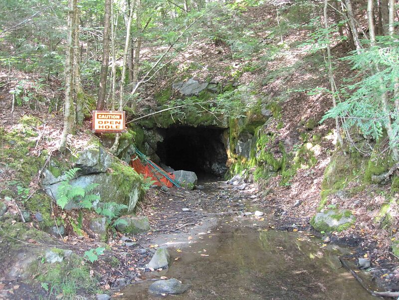
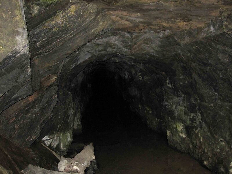
Here is the adit.
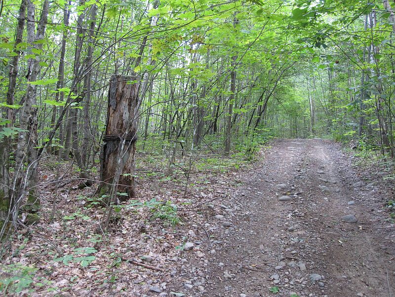
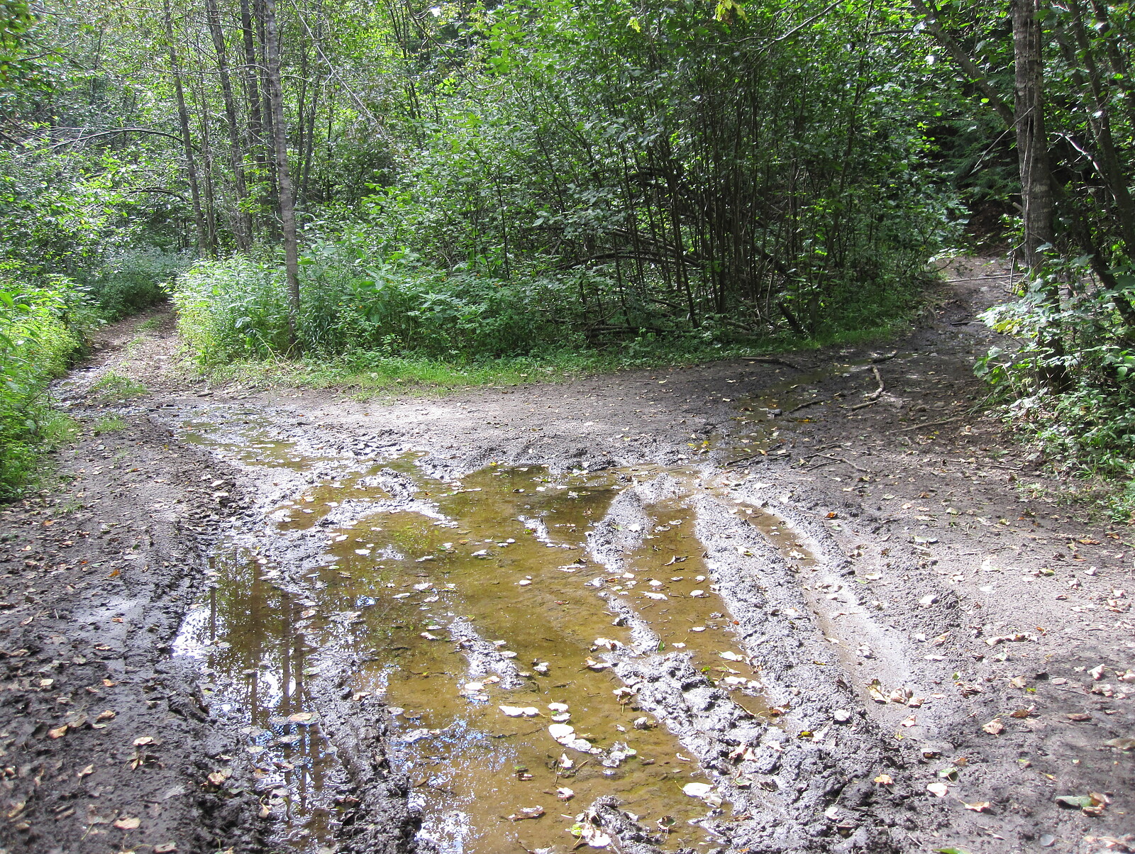
Here is the beginning of the mine road. Notice the wire wrapped stump.
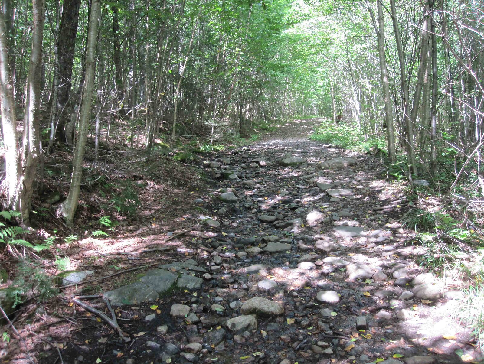
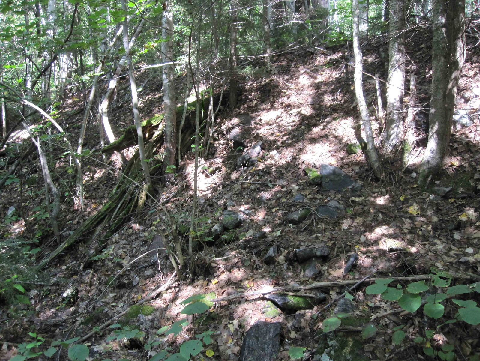
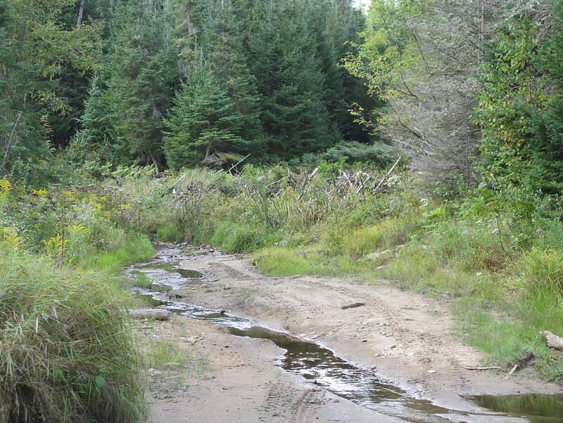
Here is a bad section of the mine road, about 1/3 of the way to the site. The road to Croft is generally quite bad & best suited to an ATV.
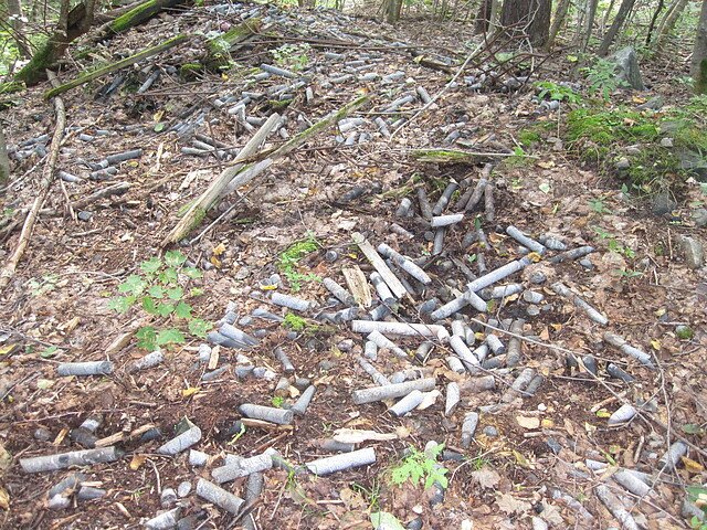
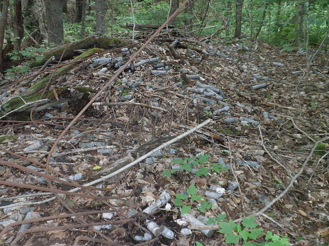
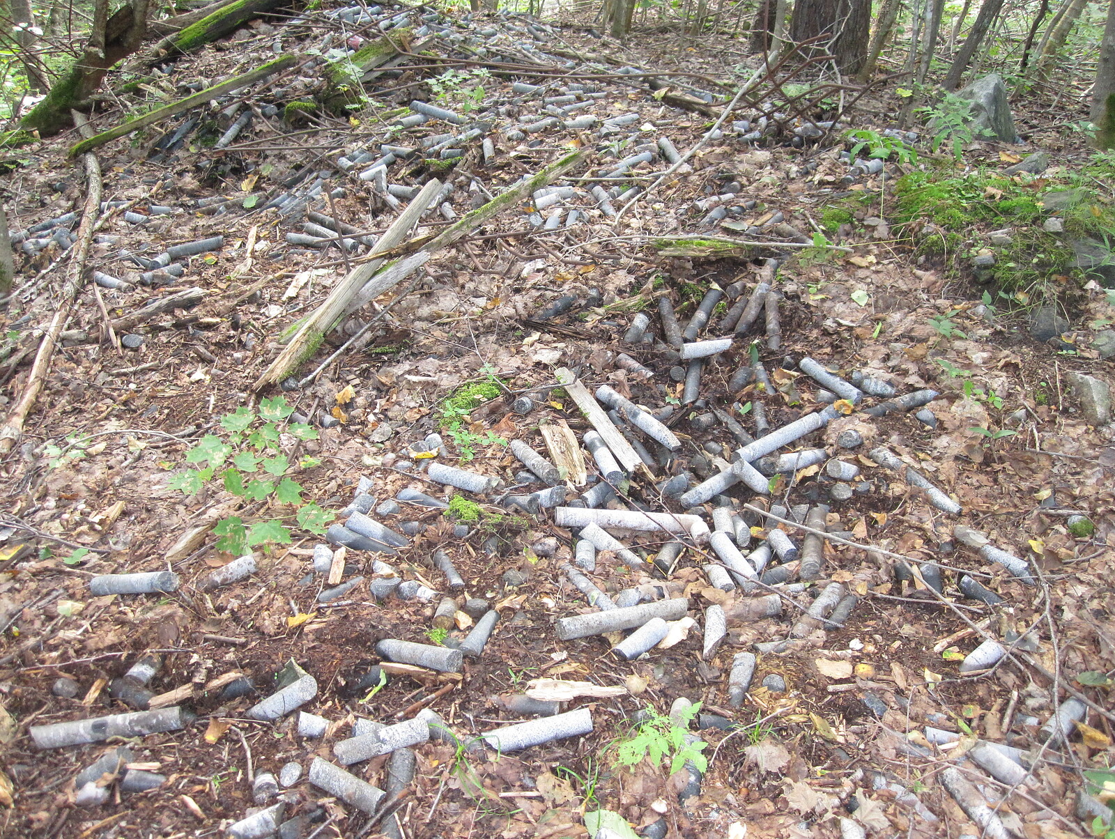
A pile of core samples. Might have been a storage shed that housed the samples & then it decayed away.
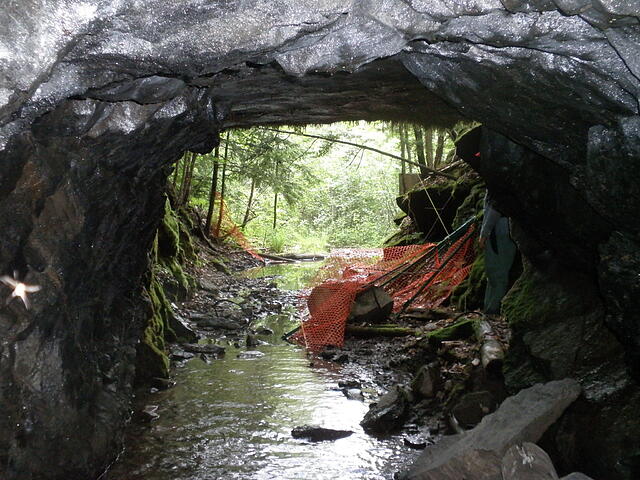
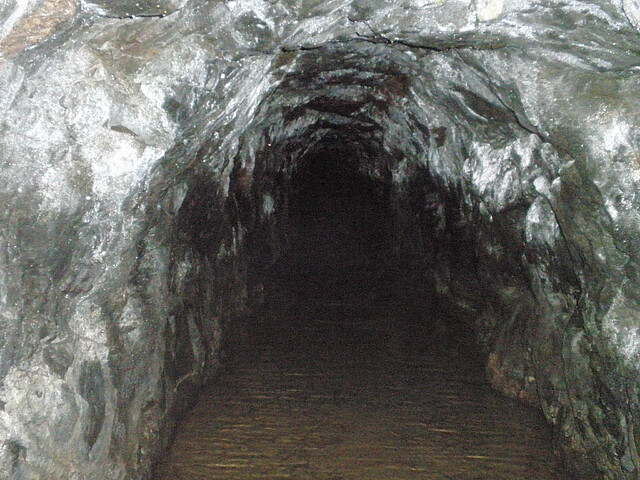
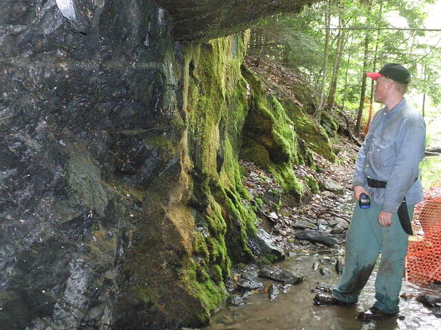
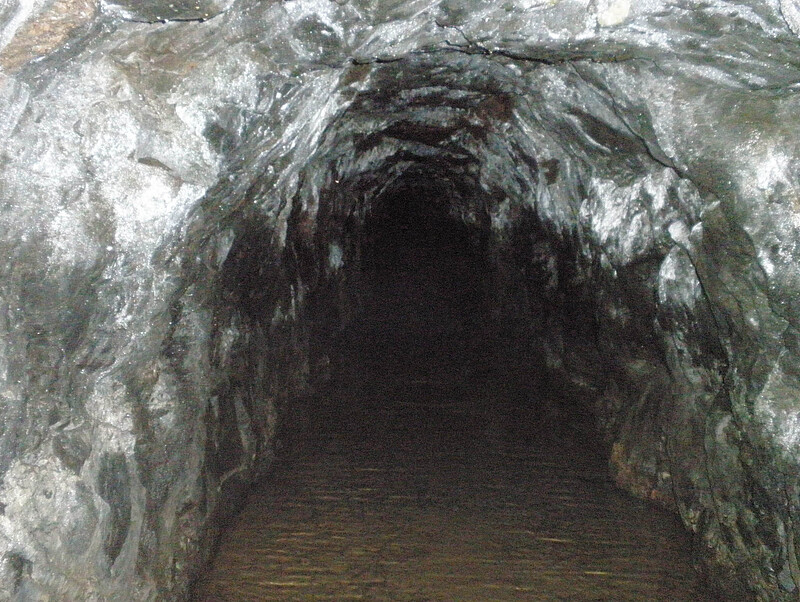
A few feet in the adit.
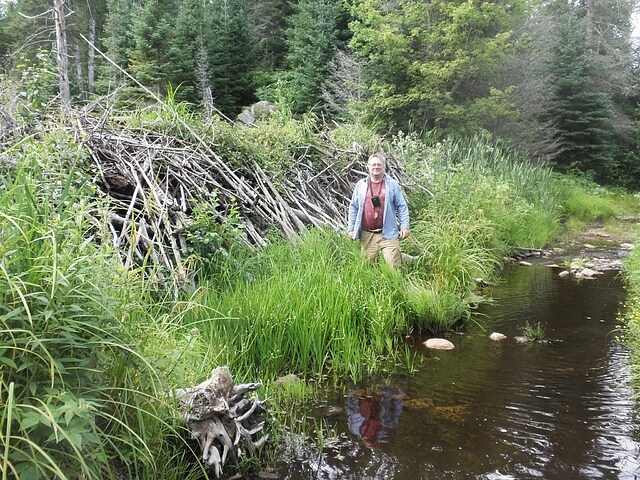
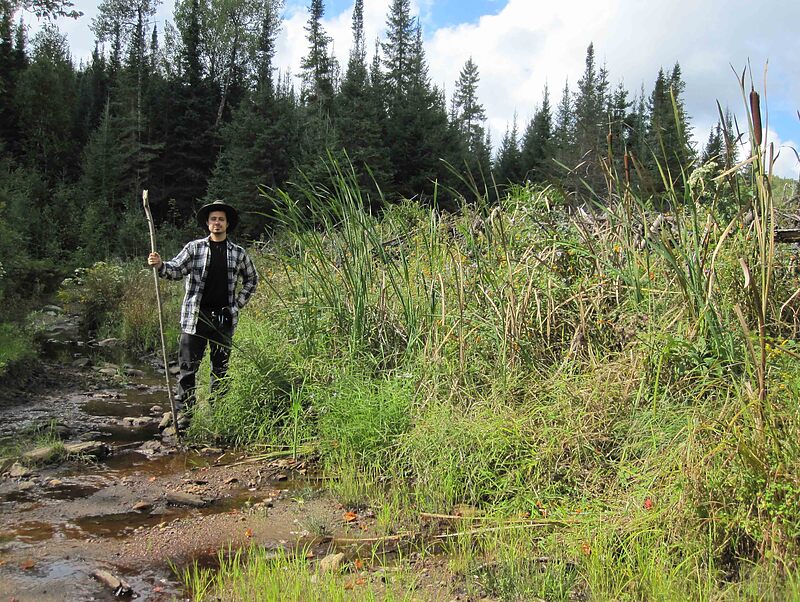
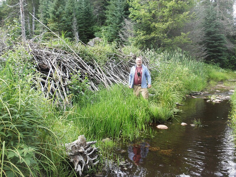
It really is a big dam.
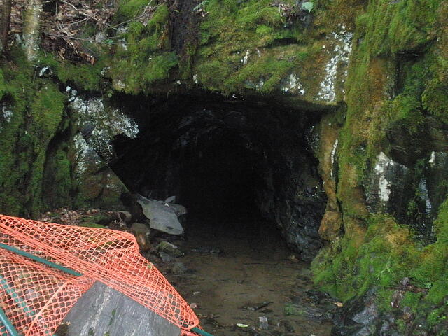
Here is the entrance to the adit.
Here is a large beaver dam about 1/2 of the way to the mine. It is about 8 feet high & holding back a lot of water.
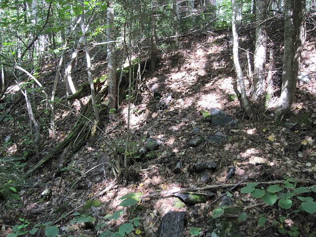
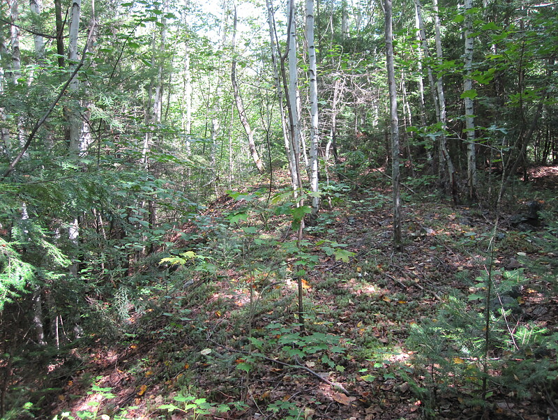
Some overgrown dumps, seen from the bottom.
Here is the fork at the mine. The right road goes a few meters to the adit, the left road goes to the core sample pile.
Here is the top of the dump.
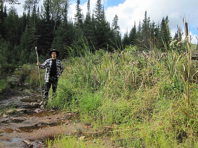
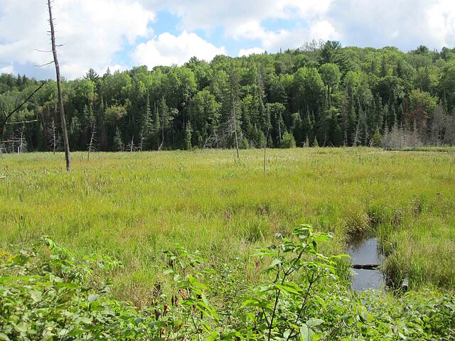
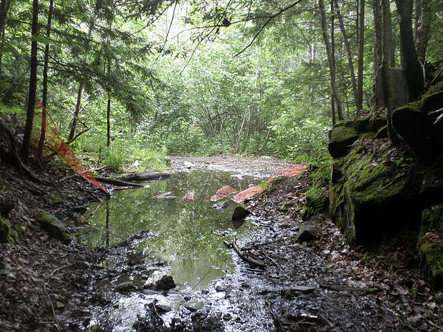
You encounter this swamp about 2/3 of the way to the mine, on the east side of the road.
The adit is driven straight into the mountain. Ground water is running out. Note...I see now, I should have moved the orange fencing, interferes with view. Circa 2009 - 2012 Please see my #28 article "Radioactive Reality II: “Bancroft Area: Radioactive Mineral Sites”
I stand 5' 7'', This structure has to be at the very least 7' tall. The engineering to contain this huge amount of water is unbelievable. Imagine the pressure pushing outward. This is well worthy of a photo Circa 2009 - 2012 Please see my #28 article "Radioactive Reality II: “Bancroft Area: Radioactive Mineral Sites”
Wearing my waterproof leather boots, I walked a short way into the adit. Unfortunately we did not carry a flashlight ............Oops! Circa 2009 - 2012 Please see my #28 article "Radioactive Reality II: “Bancroft Area: Radioactive Mineral Sites”
The iconic adit photograph...........apparently someone is preparing to put-up orange plastic fence to signal danger. Or for liability reasons. Circa 2009 - 2012 Please see my #28 article "Radioactive Reality II: “Bancroft Area: Radioactive Mineral Sites”
Lots of core samples lay silent. We did get a few minor "chirps" searching through the pile. Circa 2009 - 2012 Please see my #28 article "Radioactive Reality II: “Bancroft Area: Radioactive Mineral Sites”
The adit opening is clear. The floor, water covered Circa 2009 - 2012 Please see my #28 article "Radioactive Reality II: “Bancroft Area: Radioactive Mineral Sites”
When this site was in operation there would not have been a single tree, bush or greenery anywhere in close proximity. Just past the trees ahead is a hill of waste rock. Circa 2009 - 2012 Please see my #28 article "Radioactive Reality II: “Bancroft Area: Radioactive Mineral Sites”
No radioactives were noted in the places searched. Circa 2009 - 2012 Please see my #28 article "Radioactive Reality II: “Bancroft Area: Radioactive Mineral Sites”