| Locality | Latitude | Longitude | Distance | Bearing |
|---|
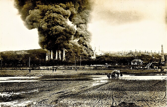
| Ploieşti, Prahova County, Romania | 44° 56' 45" N | 26° 1' 23" E | 0.7km (0.4 miles) | |
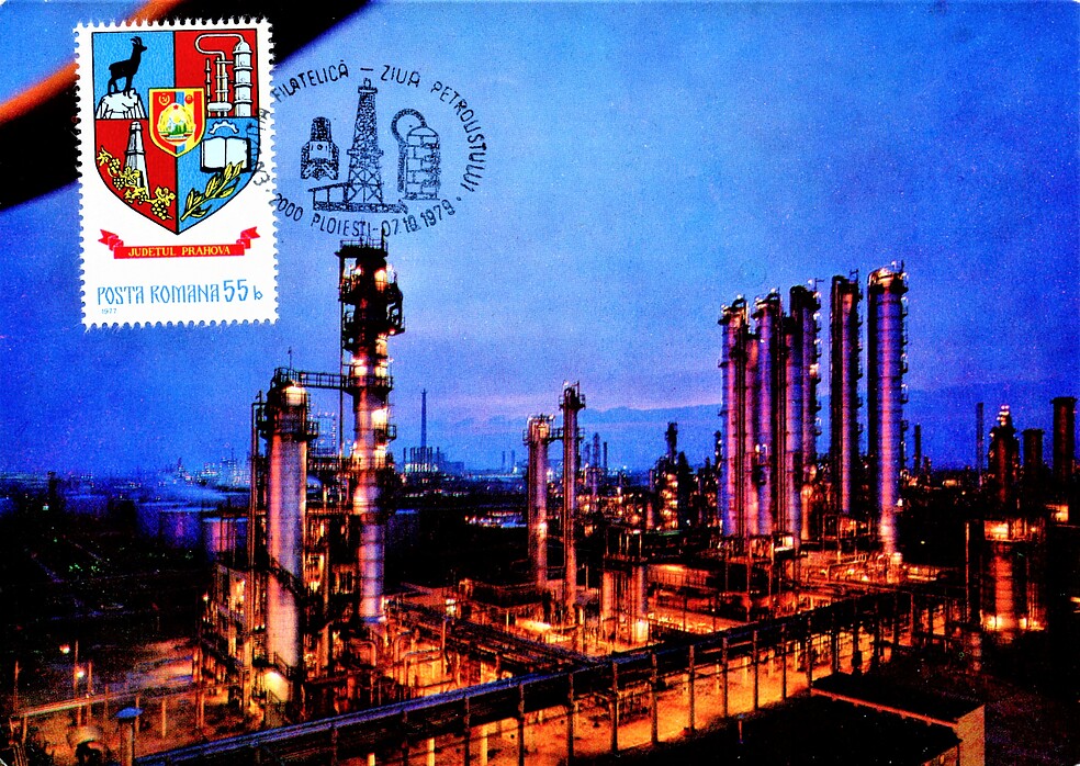
| Rafinǎria Vega Ploieşti, Ploieşti, Prahova County, Romania | 44° 57' 56" N | 26° 1' 31" E | 1.9km (1.2 miles) | |
| Rafinǎria Astra Română, Ploieşti, Prahova County, Romania | 44° 55' 12" N | 26° 1' 34" E | 3.4km (2.1 miles) | |
| Rafinǎria Petrobrazi, Ploieşti, Prahova County, Romania | 44° 52' 28" N | 26° 0' 29" E | 8.4km (5.2 miles) | |
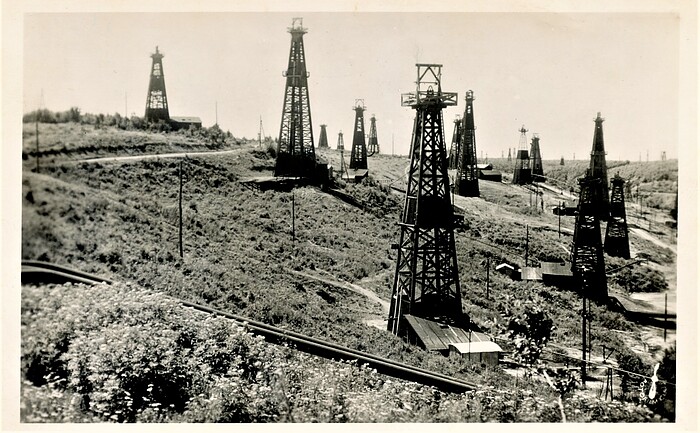
| Buştenari oil field, Comuna Telega, Prahova County, Romania | 45° 8' 34" N | 25° 49' 58" E | 25.8km (16.1 miles) | |
| Doftana salt mine, Prahova County, Romania | 45° 8' 30" N | 25° 46' 30" E | 28.6km (17.7 miles) | |
| Moreni oil field, Dâmbovița County, Romania | 44° 59' 6" N | 25° 39' 18" E | 28.7km (17.8 miles) | |
| Câmpina oil field, Prahova County, Romania | 45° 7' 32" N | 25° 43' 26" E | 30.2km (18.8 miles) | |
| Slănic Salt Mine, Prahova County, Romania | 45° 14' 9" N | 25° 56' 30" E | 32.3km (20.1 miles) | |
| Gura-Ocniţei oil field, Dâmbovița County, Romania | 44° 56' 43" N | 25° 33' 55" E | 35.5km (22.1 miles) | |
| Ochiuri, Gura-Ocniţei oil field, Dâmbovița County, Romania | 44° 58' 0" N | 25° 32' 38" E | 37.2km (23.1 miles) | |
| Mount Leaota, Stoenești, Argeş County, Romania | 45° 19' 23" N | 25° 18' 53" E | 68.9km (42.8 miles) | |
| Timișu de Sus, Predeal, Brașov County, Romania | 45° 31' 46" N | 25° 34' 39" E | 73.0km (45.4 miles) | |
| Valea lui Negulet, Stoenești, Argeş County, Romania | 45° 16' 23" N | 25° 11' 38" E | 73.9km (45.9 miles) | |
| Meledic Karst Plateau, Mânzăleşti, Buzău County, Romania | 45° 29' 49" N | 26° 37' 9" E | 77.0km (47.8 miles) | |
| Blejeşti, Teleorman County, Romania | 44° 17' 40" N | 25° 28' 20" E | 84.7km (52.6 miles) | |
| Árkos, Covasna County, Romania | 45° 53' 58" N | 25° 45' 59" E | 107.4km (66.7 miles) | |
| Cathedral of Curtea de Argeș, Curtea de Argeș, Argeş County, Romania | 45° 9' 24" N | 24° 40' 31" E | 107.8km (67.0 miles) | |
| Málnás, Covasna County, Romania | 46° 0' 29" N | 25° 50' 36" E | 118.5km (73.6 miles) | |
| Făgăraș Mountains, Sibiu County, Romania | 45° 34' 59" N | 24° 45' 0" E | 121.6km (75.6 miles) | |
| Gresia meteorite, Gresia, Teleorman County, Romania | 44° 10' 17" N | 24° 55' 8" E | 122.7km (76.3 miles) | |
| Bogata Olteană quarries, Hoghiz, Brașov County, Romania | 45° 57' 15" N | 25° 21' 27" E | 122.9km (76.4 miles) | |
| Cuciulata quarry, Hoghiz, Brașov County, Romania | 45° 56' 49" N | 25° 17' 28" E | 124.5km (77.3 miles) | |
| Perșani Mountains occurrences, Brașov County, Romania | 45° 58' 0" N | 25° 19' 0" E | 125.5km (78.0 miles) | |
| Capeni, Baraolt, Covasna County, Romania | 46° 2' 23" N | 25° 34' 41" E | 125.9km (78.2 miles) | |
| Racoş, Racoş (Racoşul de Jos), Brașov County, Romania | 46° 1' 26" N | 25° 24' 34" E | 128.4km (79.8 miles) | |
| Băile Bálványos, Turia, Covasna County, Romania | 46° 6' 31" N | 25° 57' 22" E | 128.9km (80.1 miles) | |
| Turia Cave, Băile Bálványos, Turia, Covasna County, Romania | 46° 7' 11" N | 25° 56' 54" E | 130.2km (80.9 miles) | |
| Racoşul de Sus, Baraolt, Covasna County, Romania | 46° 4' 49" N | 25° 32' 53" E | 130.9km (81.3 miles) | |
| Magyarhermány (Herculian), Covasna County, Romania | 46° 8' 7" N | 25° 42' 29" E | 134.0km (83.2 miles) | |
Ploieşti, Prahova County, Romania