


Earth Observatory
NASA's Earth Observatory brings you the Earth, every day – the images, stories, and discoveries about the environment, Earth systems, and climate that emerge from NASA research.
Image of the Day

Picturing Earth in a New Light
3 min read
A recent analysis revealed where artificial light at night has intensified, as well as where it has diminished.
May 15, 2026

Ice Moves Out of Aniak
3 min read
Spring melt along Alaska’s Kuskokwim River caused ice jams and flooding.
May 14, 2026

America’s Emerald Isle
3 min read
Beaver Island is one in a string of verdant and scenic jewels in a northern Lake Michigan archipelago.
May 13, 2026
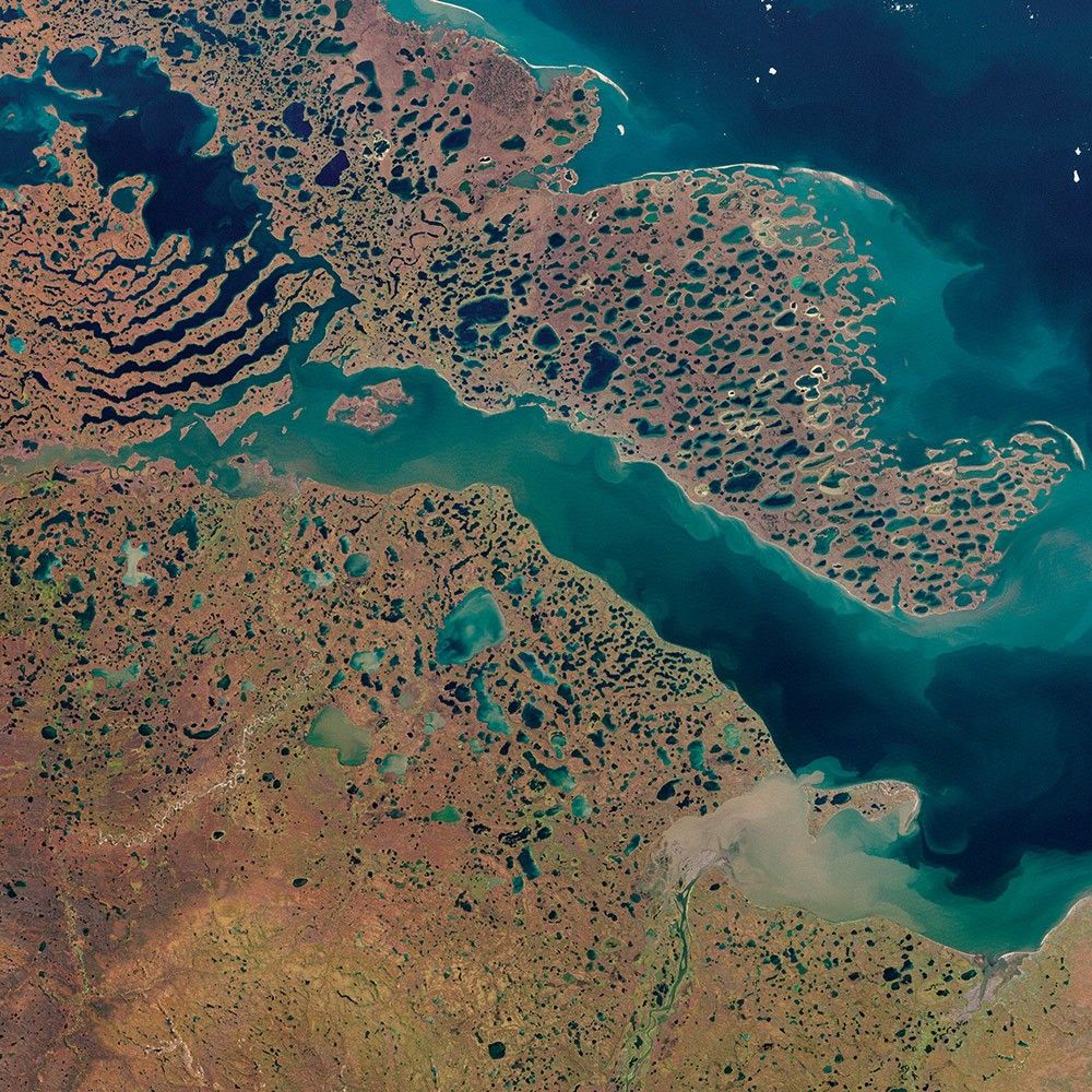
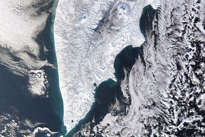
May 2026 Satellite Puzzler
Your challenge is to tell us the location of the satellite image and why it is interesting.
Can you guess the location? about May 2026 Satellite Puzzler
Get the Earth Observatory in your Inbox
Subscribe to our newsletters
We will never share your email address.