File:Levant (orthographic projection).png

Size of this preview: 600 × 600 pixels. Other resolutions: 240 × 240 pixels | 480 × 480 pixels | 768 × 768 pixels | 1,024 × 1,024 pixels | 2,000 × 2,000 pixels.
Original file (2,000 × 2,000 pixels, file size: 632 KB, MIME type: image/png)
Captions
Captions
Levant (orthographic projection)
Summary
edit| Description |
English: Orthographic map of Levant.
العربية: الخريطة الإرشادية لبلاد الشام.
اللون الأخضر الداكن: البلدان والمناطق الواقعة في منطقة المشرق العربي. (سوريا ولبنان وفلسطين والأردن وقبرص وهاتاي) اللون الأخضر المتوسط (بين الداكن والباهت): أراضي كاملة من البلدان التي يتم تضمين مناطقها في منطقة المشرق العربي. (العراق وسيناء) اللون الأخضر الباهت: البلدان والمناطق المدرجة أحيانًا في منطقة بلاد الشام. (اليونان وتركيا ومصر) |
| Date | |
| Source |
Own work Based on File:Norhern_Cyprus_(orthographic_projection).png by user:Seksen iki yüz kırk beş |
| Author | Winkpolve |
-
 Argentina
 -
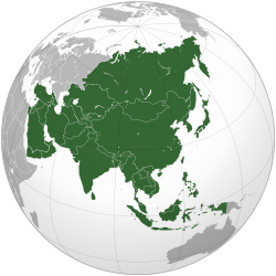 Asia
Asia -
 Australia
 -
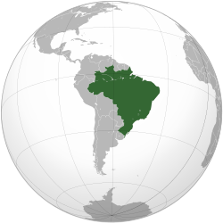 Brazil
 -
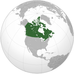 Canada
 -
 Chile
Chile -
 European Union
 -
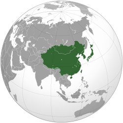 East Asia
 -
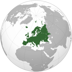 Europe
 -
 India
India -
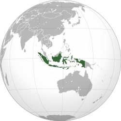 Indonesia
 -
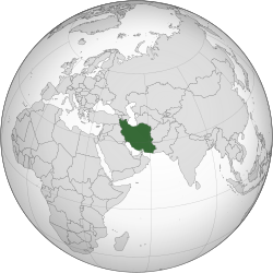 Iran
Iran -
 Japan
Japan -
 Malaysia
 -
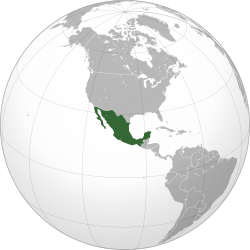 Mexico
 -
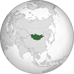 Mongolia
 -
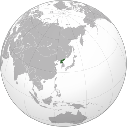 North Korea
 -
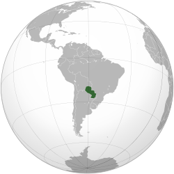 Paraguay
 -
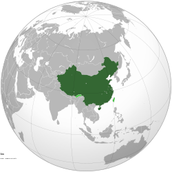 People's Republic of China
 -
 Philippines
 -
 Russia
 -
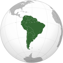 South America
 -
 South Korea
 -
 Union of Soviet Socialist Republics
 -
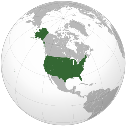 United States
.svg)
.svg)
.svg)
.svg)
.svg)
.svg)

.svg)
.svg)
.svg)
.svg)
.svg)
.svg)
.svg)
.svg)
.svg)
.svg)
.svg)
.svg)
.svg)
_-_Crimea_disputed.svg)
.svg)
.svg)
.svg)
.svg)
.png&action=edit§ion=1)
.png)
Licensing
edit.png&action=edit§ion=2)
I, the copyright holder of this work, hereby publish it under the following license:
This file is licensed under the Creative Commons Attribution-Share Alike 3.0 Unported license.
- You are free:
- to share – to copy, distribute and transmit the work
- to remix – to adapt the work
- Under the following conditions:
- attribution – You must give appropriate credit, provide a link to the license, and indicate if changes were made. You may do so in any reasonable manner, but not in any way that suggests the licensor endorses you or your use.
- share alike – If you remix, transform, or build upon the material, you must distribute your contributions under the same or compatible license as the original.
File history
Click on a date/time to view the file as it appeared at that time.
| Date/Time | Thumbnail | Dimensions | User | Comment | |
|---|---|---|---|---|---|
| current | 00:18, 18 May 2015 | | 2,000 × 2,000 (632 KB) | HD86 (talk | contribs) | changed boundaries of the Levant based on the sources cited in the article. |
| 18:33, 28 October 2013 |  | 2,000 × 2,000 (679 KB) | Hohum (talk | contribs) | Remove confusing Cyprus insert | |
| 05:40, 26 September 2012 |  | 2,000 × 2,000 (587 KB) | Mttll (talk | contribs) | Colored East Thrace of Turkey as national territory. | |
| 02:20, 28 August 2012 |  | 2,000 × 2,000 (447 KB) | Winkpolve (talk | contribs) | User created page with UploadWizard |
You cannot overwrite this file.
File usage on Commons
More than 100 pages use this file. The following list shows the first 100 pages that use this file only. A full list is available.
.png)
- Grey–green orthographic projections maps
- Levant
- File:ALBA (orthographic projection).png
- File:Africa (orthographic projection).svg
- File:African Union (orthographic projection).svg
- File:Almoravid map.svg
- File:Americas (orthographic projection).svg
- File:Andean Community (orthographic projection).svg
- File:Angola (orthographic projection).svg
- File:Antarctica (orthographic projection).svg
- File:Arab league orthographic NED 50m.svg
- File:Aridoamerica (orthographic projection).svg
- File:Association of Southeast Asian Nations (orthographic projection).svg
- File:Association of Southeast Asian Nations plus three (orthographic projection).svg
- File:Australia-New Guinea (orthographic projection).svg
- File:Australia map with outlying islands.svg
- File:Azerbaijan (orthographic projection).svg
- File:Bosnia and Herzegovina (orthographic projection).svg
- File:Burundi (orthographic projection).svg
- File:CECAFA-Map.svg
- File:CPV orthographic NaturalEarth.svg
- File:Cameroon (orthographic projection).svg
- File:Cape Verde (orthographic projection).svg
- File:Central African Republic (orthographic projection).svg
- File:Central America (orthographic projection).svg
- File:Central Asia (orthographic projection).svg
- File:Colombia (orthographic projection).svg
- File:Comoros (orthographic projection).svg
- File:Czechoslovakia (orthographic projection).svg
- File:Democratic Republic of the Congo (orthographic projection).svg
- File:Djibouti (orthographic projection).svg
- File:Dominion of Pakistan & Indian Controlled Kashmir (orthographic projection).svg
- File:European Union (orthographic projection).svg
- File:Federal Republic of Central America (orthographic projection).svg
- File:Fiji (orthographic projection).svg
- File:First Brazilian Empire (orthographic projection).svg
- File:First Mexican Empire (orthographic projection).svg
- File:Gabon (orthographic projection).svg
- File:Georgia (orthographic projection).svg
- File:Georgia (orthographic projection with inset).svg
- File:Germany (orthographic projection).svg
- File:Ghana (orthographic projection).svg
- File:Granadine Confederation (orthographic projection).svg
- File:Great Colombia (orthographic projection).svg
- File:Greater Middle East (orthographic projection).svg
- File:Guinea (orthographic projection).svg
- File:Haiti (orthographic projection).svg
- File:India (orthographic projection).svg
- File:Iraq (orthographic projection).svg
- File:Italian Colonial Empire (orthographic projection).svg
- File:Jamaica (orthographic projection).svg
- File:Japanese Empire (orthographic projection).svg
- File:Kazakhstan (orthographic projection).svg
- File:Korea (orthographic projection).svg
- File:Lusophone America (orthographic projection).svg
- File:MERCOSUR (orthographic projection).svg
- File:Maghreb (orthographic projection).svg
- File:Mauritius (orthographic projection).svg
- File:Mayan languages (orthographic projection).svg
- File:Mesoamerica (orthographic projection) with borders.svg
- File:Mexico and Central America (orthographic projection).svg
- File:Montenegro (orthographic projection).svg
- File:Mozambique (orthographic projection).svg
- File:NZL orthographic NaturalEarth.svg
- File:New Granada (orthographic projection).svg
- File:New Spain (orthographic projection).svg
- File:New Zealand (orthographic projection).svg
- File:Nigeria (orthographic projection).svg
- File:North Africa (orthographic projection).svg
- File:North American Agreement (orthographic projection).svg
- File:Northern America including Mexico (orthographic projection).svg
- File:Norway (orthographic projection).svg
- File:Peru–Bolivia Confederation (orthographic projection).svg
- File:Poland (orthographic projection).svg
- File:Republic of China (orthographic projection).svg
- File:Republic of the Congo (orthographic projection).svg
- File:Rio Group (orthographic projection).svg
- File:Roman Empire (orthographic projection).svg
- File:Russian Empire (orthographic projection).svg
- File:Second Mexican Empire (orthographic projection).svg
- File:Sierra Leone (orthographic projection).svg
- File:South Asia (orthographic projection) without national boundaries.svg
- File:South Sudan (orthographic projection).svg
- File:Southern Europe (orthographic projection).svg
- File:Svalbard-orthographic-2.jpg
- File:Switzerland (orthographic projection).svg
- File:Tanzania (orthographic projection).svg
- File:Tawantinsuyu (orthographic projection).svg
- File:The Philippines and ASEAN (orthographic projection).svg
- File:Third Reich (orthographic projection).svg
- File:Tunisia (orthographic projection).svg
- File:Turkey (orthographic projection).svg
- File:Uganda (orthographic projection).svg
- File:United Provinces of Central America (orthographic projection).svg
- File:United States of Colombia (orthographic projection).svg
- File:Venezuela (orthographic projection).svg
- File:Viceroyalty of Peru (orthographic projection).svg
- File:Viceroyalty of the Río de la Plata (orthographic projection).svg
- File:West Indies (orthographic projection).svg
- File:ZMB orthographic NaturalEarth.svg
.png)
.svg)
.svg)
.svg)
.svg)
.svg)
.svg)
.svg)
.svg)
.svg)
.svg)
.svg)
.svg)
.svg)
.svg)
.svg)
.svg)
.svg)
.svg)
.svg)
.svg)
.svg)
.svg)
.svg)
.svg)
.svg)
.svg)
.svg)
.svg)
.svg)
.svg)
.svg)
.svg)
.svg)
.svg)
.svg)
.svg)
.svg)
.svg)
.svg)
.svg)
.svg)
.svg)
.svg)
.svg)
.svg)
.svg)
.svg)
.svg)
.svg)
.svg)
_with_borders.svg)
.svg)
.svg)
.svg)
.svg)
.svg)
.svg)
.svg)
.svg)
.svg)
.svg)
.svg)
.svg)
.svg)
.svg)
.svg)
.svg)
.svg)
.svg)
.svg)
.svg)
_without_national_boundaries.svg)
.svg)
.svg)
.svg)
.svg)
.svg)
.svg)
.svg)
.svg)
.svg)
.svg)
.svg)
.svg)
.svg)
.svg)
.svg)
.svg)
View more links to this file.
File usage on other wikis
The following other wikis use this file:
- Usage on af.wikipedia.org
- Usage on ar.wikipedia.org
- Usage on ar.wiktionary.org
- Usage on ast.wikipedia.org
- Usage on azb.wikipedia.org
- Usage on ba.wikipedia.org
- Usage on bn.wikipedia.org
- Usage on bn.wikivoyage.org
- Usage on ca.wikipedia.org
- Usage on de.wikipedia.org
- Usage on diq.wikipedia.org
- Usage on en.wikipedia.org
- Usage on en.wikibooks.org
- Usage on en.wikivoyage.org
- Usage on eo.wikipedia.org
- Usage on es.wikipedia.org
- Usage on et.wikipedia.org
- Usage on eu.wikipedia.org
- Usage on fa.wikipedia.org
- Usage on ga.wikipedia.org
- Usage on gl.wikipedia.org
- Usage on he.wikipedia.org
- Usage on he.wikivoyage.org
- Usage on hi.wikipedia.org
- Usage on id.wikipedia.org
- Usage on id.wikivoyage.org
- Usage on incubator.wikimedia.org
- Usage on ja.wikipedia.org
- Usage on kk.wikipedia.org
- Usage on ko.wikipedia.org
- Usage on ks.wikipedia.org
- Usage on ku.wikipedia.org
- Usage on lfn.wikipedia.org
- Usage on ml.wikipedia.org
- Usage on ms.wikipedia.org
- Usage on pa.wikipedia.org
- Usage on pl.wikipedia.org
View more global usage of this file.
.png)
.png&oldid=1196826590)