| Locality | Latitude | Longitude | Distance | Bearing |
|---|
| Storaberget, Forus, Stavanger, Rogaland, Norway | 58° 53' 50" N | 5° 43' 22" E | 8.1km (5.0 miles) | |
| Dale (Dalsvågen), Sandnes, Rogaland, Norway | 58° 53' 48" N | 5° 46' 27" E | 8.5km (5.3 miles) | |
| Forus, Stavanger, Rogaland, Norway | 58° 53' 32" N | 5° 43' 29" E | 8.7km (5.4 miles) | |
| Hidle, Hidle Island, Strand, Rogaland, Norway | 59° 2' 19" N | 5° 49' 22" E | 9.2km (5.7 miles) | |
| Ørnebukta, Tananger, Sola, Rogaland, Norway | 58° 56' 39" N | 5° 34' 9" E | 9.8km (6.1 miles) | |
| Melingholmen quarry, Melingholmen, Tananger, Sola, Rogaland, Norway | 58° 55' 47" N | 5° 34' 49" E | 9.8km (6.1 miles) | |
| Melingholmen, Tananger, Sola, Rogaland, Norway | 58° 55' 46" N | 5° 34' 50" E | 9.9km (6.1 miles) | |
| Tananger, Sola, Rogaland, Norway | 58° 56' 9" N | 5° 34' 26" E | 9.9km (6.1 miles) | |
| Bru chloritoid occurrence, Bru, Rennesøy, Rogaland, Norway | 59° 2' 53" N | 5° 38' 13" E | 10.3km (6.4 miles) | |
| Hogstad, Sandnes, Rogaland, Norway | 58° 53' 46" N | 5° 51' 27" E | 10.9km (6.8 miles) | |
| Gangenes, Rennesøy Island, Rennesøy, Rogaland, Norway | 59° 4' 44" N | 5° 46' 26" E | 12.3km (7.7 miles) | |
| Rumpehaugen prospect, Rennesøy Island, Rennesøy, Rogaland, Norway | 59° 5' 9" N | 5° 42' 57" E | 12.9km (8.0 miles) | |
| Brimse Deposit, Brimse, Rennesøy, Rogaland, Norway | 59° 5' 11" N | 5° 47' 57" E | 13.5km (8.4 miles) | |
| Sola Strand, Sola, Rogaland, Norway | 58° 52' 31" N | 5° 34' 58" E | 13.6km (8.5 miles) | |
| Øygardsneset, Sandnes, Rogaland, Norway | 58° 53' 46" N | 5° 56' 6" E | 14.2km (8.8 miles) | |
| Imsvatnet mine, Sandnes, Rogaland, Norway | 58° 53' 26" N | 5° 57' 2" E | 15.3km (9.5 miles) | |
| Dalaker, Rennesøy Island, Rennesøy, Rogaland, Norway | 59° 6' 29" N | 5° 42' 32" E | 15.4km (9.6 miles) | |
| Høyland, Sandnes, Rogaland, Norway | 58° 49' 50" N | 5° 45' 0" E | 15.5km (9.6 miles) | |
| Kyllesknuten mine, Sandnes, Rogaland, Norway | 58° 52' 26" N | 5° 56' 10" E | 15.8km (9.8 miles) | |
| Fjøløya Quarry, Fjøløy, Rennesøy, Rogaland, Norway | 59° 5' 27" N | 5° 34' 33" E | 16.2km (10.0 miles) | |
| Veraland quarry, Sandnes, Rogaland, Norway | 58° 52' 23" N | 5° 56' 49" E | 16.3km (10.1 miles) | |
| Einerkollen, Sandnes, Rogaland, Norway | 58° 52' 53" N | 5° 57' 41" E | 16.4km (10.2 miles) | |
| Heigre, Sandnes, Rogaland, Norway | 58° 50' 5" N | 5° 37' 11" E | 16.4km (10.2 miles) | |
| Årebrot, Fjøløy, Rennesøy, Rogaland, Norway | 59° 5' 52" N | 5° 34' 27" E | 16.9km (10.5 miles) | |
| Tau Quarry (Norstone Tau), Strand, Rogaland, Norway | 59° 5' 13" N | 5° 56' 0" E | 17.3km (10.8 miles) | |
| Ertenstein, Rennesøy Island, Rennesøy, Rogaland, Norway | 59° 7' 28" N | 5° 40' 5" E | 17.6km (10.9 miles) | |
| Rossøyna, Finnøy, Rogaland, Norway | 59° 6' 37" N | 5° 53' 41" E | 18.1km (11.3 miles) | |
| Nordland Talc Quarry (Stølsfjell), Sandnes, Rogaland, Norway | 58° 50' 53" N | 5° 58' 36" E | 19.5km (12.1 miles) | |
| Norland quartz deposit, Sandnes, Rogaland, Norway | 58° 50' 47" N | 5° 59' 0" E | 19.9km (12.4 miles) | |
| Figgjo hematite occurrence, Sandnes, Rogaland, Norway | 58° 47' 20" N | 5° 48' 14" E | 20.5km (12.8 miles) | |
Minerals recorded nearby (within 20 km)
Rock types recorded nearby (within 20 km)
Entries shown in red are rocks recorded for this region.

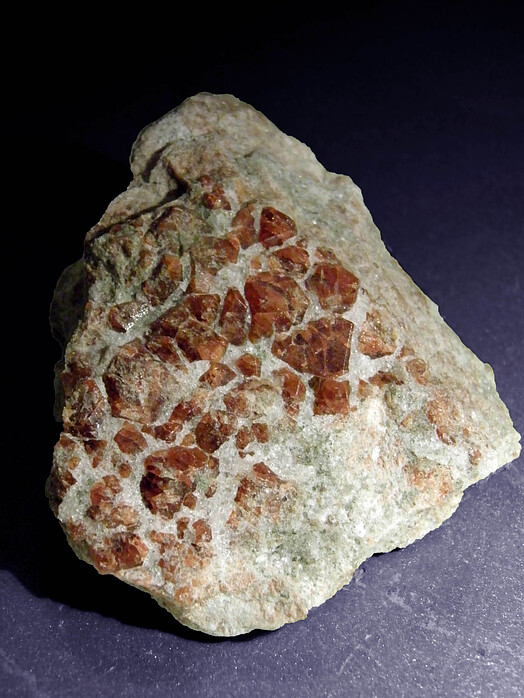

Melingholmen, Tananger, Sola, Rogaland, Norway